
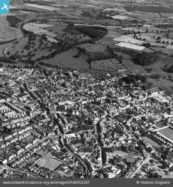
EAW051187 ENGLAND (1953). The town, Yeovil, 1953. This image has been produced from a print.
© Copyright OpenStreetMap contributors and licensed by the OpenStreetMap Foundation. 2026. Cartography is licensed as CC BY-SA.
Nearby Images (16)
EAW051187

EAW051929

EPW024007

EPW011725

EAW051185

EPW024027

EAW051186

EPW024015

EPW011726

EPW024008

EAW051188

EAW051189

EPW024009

EAW051183

EPW024010

EPW048466

Details
| Title | [EAW051187] The town, Yeovil, 1953. This image has been produced from a print. |
| Reference | EAW051187 |
| Date | 6-August-1953 |
| Link | |
| Place name | YEOVIL |
| Parish | YEOVIL |
| District | |
| Country | ENGLAND |
| Easting / Northing | 355833, 115996 |
| Longitude / Latitude | -2.6287002763818, 50.941163811413 |
| National Grid Reference | ST558160 |
Pins

Matt Aldred edob.mattaldred.com |
Wednesday 16th of July 2025 04:41:48 PM | |

Class31 |
Sunday 1st of February 2015 05:27:32 PM |
