
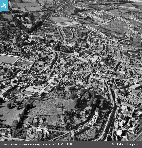
EAW051183 ENGLAND (1953). The town, Yeovil, 1953
© Copyright OpenStreetMap contributors and licensed by the OpenStreetMap Foundation. 2026. Cartography is licensed as CC BY-SA.
Nearby Images (16)
EAW051183

EPW024010

EPW024009

EPW024008

EPW011725

EAW051929

EPW024027

EPW048462

EAW051930

EAW051185

EPW048460

EAW051187

EAW051186

EPW048466

EAW051188

EAW051184

Details
| Title | [EAW051183] The town, Yeovil, 1953 |
| Reference | EAW051183 |
| Date | 6-August-1953 |
| Link | |
| Place name | YEOVIL |
| Parish | YEOVIL |
| District | |
| Country | ENGLAND |
| Easting / Northing | 355654, 115959 |
| Longitude / Latitude | -2.6312436019985, 50.940817333188 |
| National Grid Reference | ST557160 |
Pins

alastair wallace |
Thursday 29th of October 2015 09:46:49 PM | |
|
gBr |
Tuesday 27th of October 2015 08:12:08 PM |