
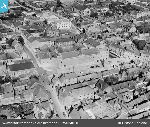
EPW024010 ENGLAND (1928). Library and Municipal Buildings on King George Street, Yeovil, 1928
© Copyright OpenStreetMap contributors and licensed by the OpenStreetMap Foundation. 2026. Cartography is licensed as CC BY-SA.
Nearby Images (16)
EPW024010

EAW051183

EAW051930

EPW048462

EPW011725

EPW024009

EPW024008

EPW048460

EAW051929

EPW024027

EPW048466

EAW051186

EAW051185

EAW051187

EAW051188

EAW051184

Details
| Title | [EPW024010] Library and Municipal Buildings on King George Street, Yeovil, 1928 |
| Reference | EPW024010 |
| Date | September-1928 |
| Link | |
| Place name | YEOVIL |
| Parish | YEOVIL |
| District | |
| Country | ENGLAND |
| Easting / Northing | 355622, 115918 |
| Longitude / Latitude | -2.6316940805643, 50.940446164693 |
| National Grid Reference | ST556159 |
Pins

Alan McFaden |
Sunday 13th of April 2014 10:02:57 AM | |

Class31 |
Thursday 7th of November 2013 08:44:01 PM | |
|
Class31 |
Thursday 7th of November 2013 08:26:24 PM | |
|
Class31 |
Wednesday 28th of August 2013 09:58:20 AM | |
|
Class31 |
Wednesday 28th of August 2013 09:50:19 AM | |
|
Class31 |
Saturday 29th of September 2012 08:17:49 PM | |
|
Class31 |
Saturday 29th of September 2012 08:17:06 PM | |
|
Class31 |
Saturday 29th of September 2012 08:16:14 PM | |
|
Class31 |
Saturday 29th of September 2012 08:14:28 PM |


