
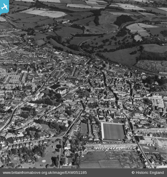
EAW051185 ENGLAND (1953). The town, Yeovil, 1953. This image has been produced from a print.
© Copyright OpenStreetMap contributors and licensed by the OpenStreetMap Foundation. 2026. Cartography is licensed as CC BY-SA.
Nearby Images (17)
EAW051185

EPW024027

EAW051188

EAW051929

EPW024008

EPW024009

EAW051187

EPW011725

EAW051183

EPW024007

EAW051189

EPW024010

EAW051186

EPW048462

EPW024015

EPW011726

EAW051930

Details
| Title | [EAW051185] The town, Yeovil, 1953. This image has been produced from a print. |
| Reference | EAW051185 |
| Date | 6-August-1953 |
| Link | |
| Place name | YEOVIL |
| Parish | YEOVIL |
| District | |
| Country | ENGLAND |
| Easting / Northing | 355758, 116075 |
| Longitude / Latitude | -2.6297774014259, 50.941868492622 |
| National Grid Reference | ST558161 |


