
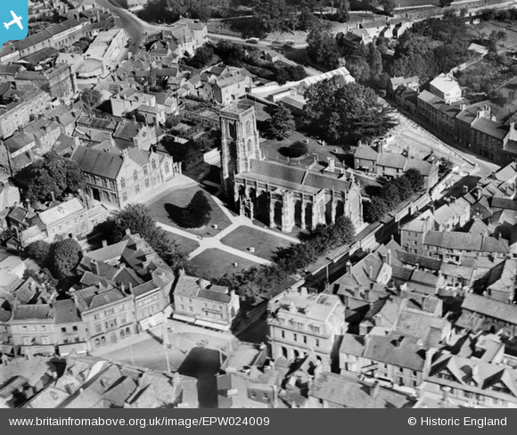
EPW024009 ENGLAND (1928). St John the Baptist's Church, Yeovil, 1928
© Copyright OpenStreetMap contributors and licensed by the OpenStreetMap Foundation. 2026. Cartography is licensed as CC BY-SA.
Nearby Images (14)
EPW024009

EPW024008

EPW024027

EAW051183

EAW051185

EAW051929

EPW011725

EPW024010

EAW051188

EPW048462

EAW051187

EAW051930

EPW048460

EAW051186

Details
| Title | [EPW024009] St John the Baptist's Church, Yeovil, 1928 |
| Reference | EPW024009 |
| Date | September-1928 |
| Link | |
| Place name | YEOVIL |
| Parish | YEOVIL |
| District | |
| Country | ENGLAND |
| Easting / Northing | 355670, 116047 |
| Longitude / Latitude | -2.6310265768625, 50.941609932226 |
| National Grid Reference | ST557160 |
Pins

Alan McFaden |
Sunday 13th of April 2014 09:59:57 AM | |

Class31 |
Thursday 7th of November 2013 08:40:33 PM | |
|
Class31 |
Wednesday 28th of August 2013 09:55:20 AM | |
|
Class31 |
Saturday 29th of September 2012 08:20:05 PM | |
|
Class31 |
Saturday 29th of September 2012 08:19:46 PM | |
|
Class31 |
Saturday 29th of September 2012 08:19:16 PM |


User Comment Contributions
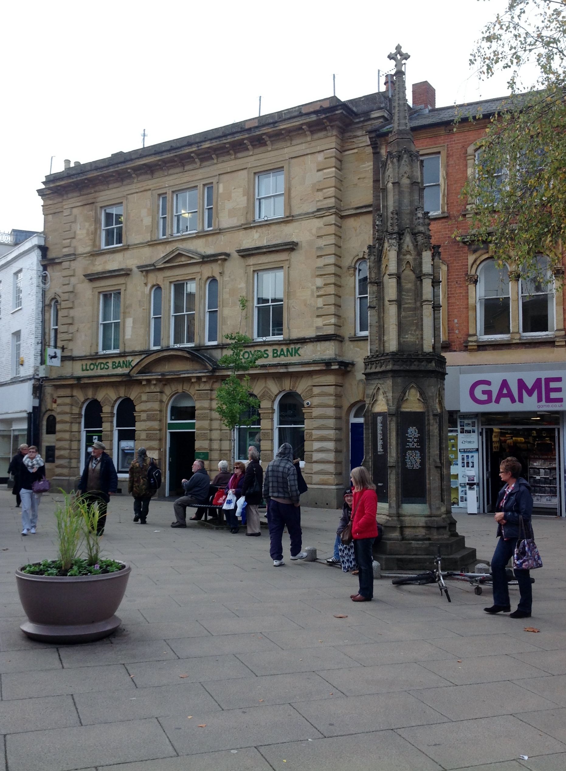
War Memorial taken today 07/11/2013 |
Class31 |
Tuesday 7th of January 2014 04:36:10 PM |
There are details on this memorial at www.ukniwm.org.uk/server/show/conMemorial.1404/fromUkniwmSearch/1, but unfortunately no names of the soldiers. |

melgibbs |
Tuesday 7th of January 2014 04:36:10 PM |
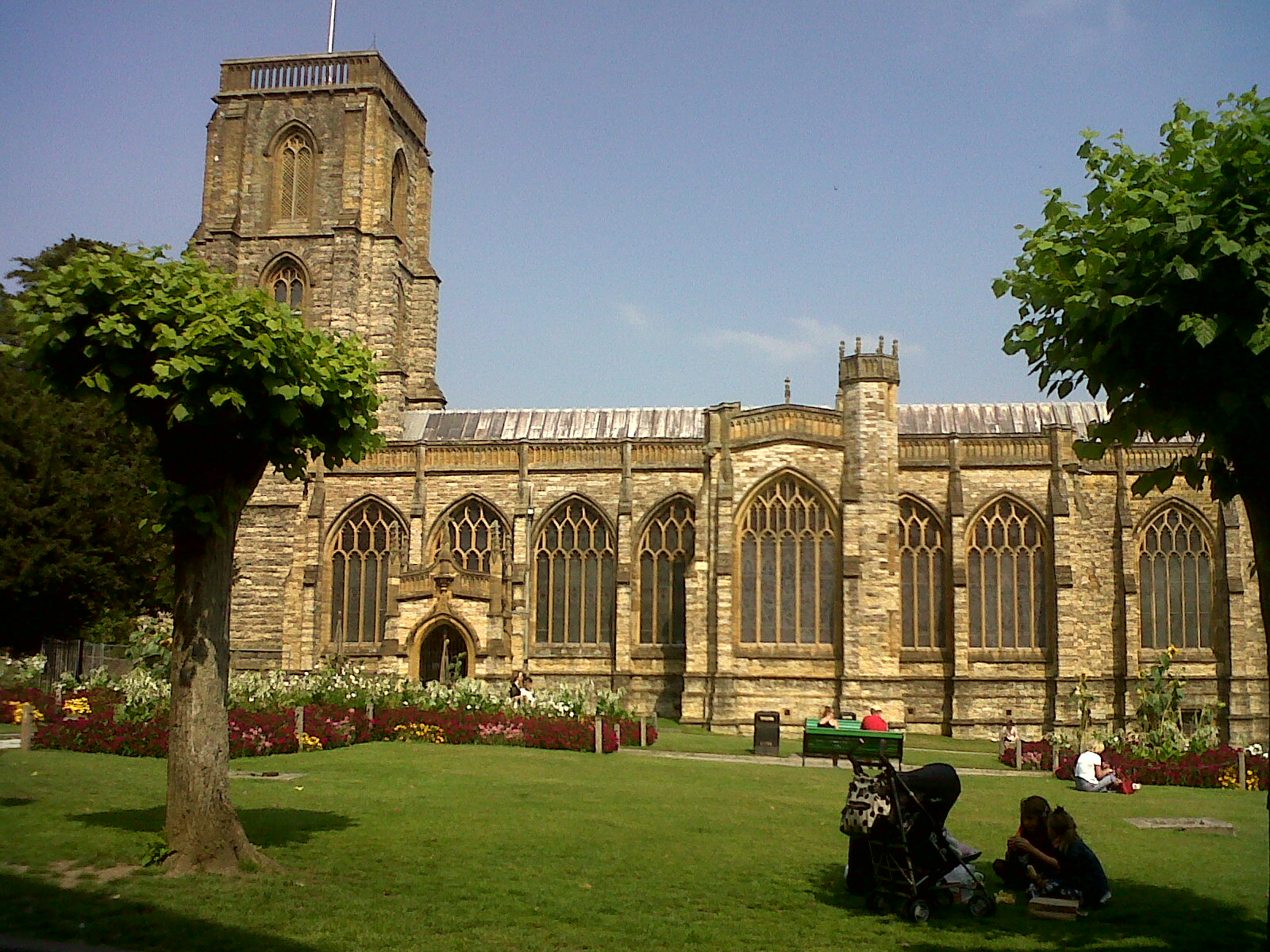
St John the Baptist's Church, Yeovil, 26/08/2013 |
Class31 |
Wednesday 28th of August 2013 09:53:51 AM |
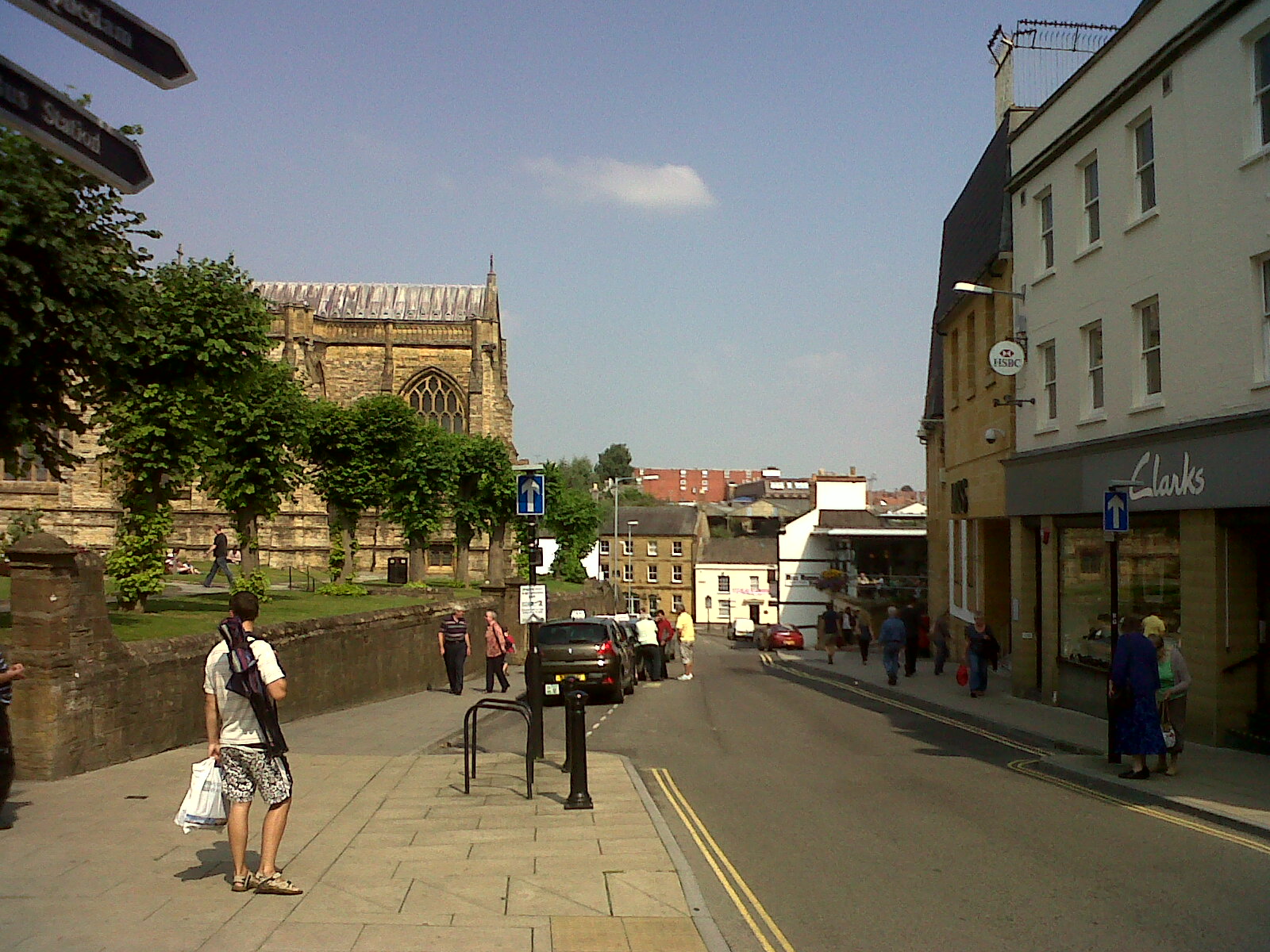
Silver Street 26/08/2013 |
Class31 |
Wednesday 28th of August 2013 09:43:46 AM |