
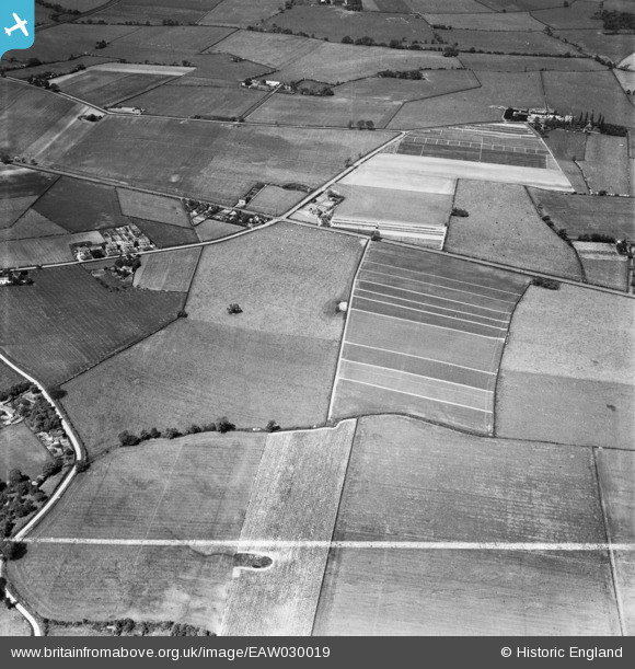
EAW030019 ENGLAND (1950). Fields to the north and south of Runcorn Road, Little Leigh, 1950. This image was marked by Aerofilms Ltd for photo editing.
© Copyright OpenStreetMap contributors and licensed by the OpenStreetMap Foundation. 2026. Cartography is licensed as CC BY-SA.
Nearby Images (25)
EAW030019

EAW030020

EAW030029

EPW045124

EAW030030

EAW030034

EAW030032

EAW030033

EAW030035

EAW030031

EPW045120

EPW045125

EAW030028

EPW045121

EPW045122

EPW045123

EAW030026

EPW032585

EAW030024

EAW030027

EPW032589

EAW030025

EAW030044

EAW030040

EAW017275

Details
| Title | [EAW030019] Fields to the north and south of Runcorn Road, Little Leigh, 1950. This image was marked by Aerofilms Ltd for photo editing. |
| Reference | EAW030019 |
| Date | 1-June-1950 |
| Link | |
| Place name | LITTLE LEIGH |
| Parish | LITTLE LEIGH |
| District | |
| Country | ENGLAND |
| Easting / Northing | 361093, 376750 |
| Longitude / Latitude | -2.5836695968635, 53.286015057038 |
| National Grid Reference | SJ611768 |
Pins
Be the first to add a comment to this image!