
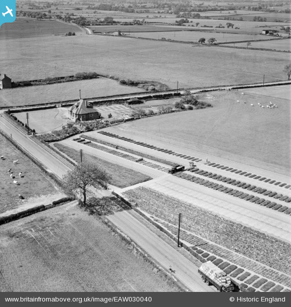
EAW030040 ENGLAND (1950). The Homestead, Little Leigh, 1950
© Copyright OpenStreetMap contributors and licensed by the OpenStreetMap Foundation. 2026. Cartography is licensed as CC BY-SA.
Nearby Images (29)
EAW030040

EAW017275

EAW030044

EAW017276

EAW016759

EAW017279

EAW030035

EAW030033

EPW057549

EAW016761

EAW030022

EAW030032

EPW032589

EAW030021

EAW030034

EAW016763

EPW057553

EAW016764

EAW016762

EPW057551

EAW016765

EPW032585

EPW057555

EPW057560

EPW045121

EAW030030

EAW030019

EAW030023

EAW016760

Details
| Title | [EAW030040] The Homestead, Little Leigh, 1950 |
| Reference | EAW030040 |
| Date | 1-June-1950 |
| Link | |
| Place name | LITTLE LEIGH |
| Parish | LITTLE LEIGH |
| District | |
| Country | ENGLAND |
| Easting / Northing | 361201, 376983 |
| Longitude / Latitude | -2.5820779751193, 53.288117485674 |
| National Grid Reference | SJ612770 |
Pins
Be the first to add a comment to this image!