
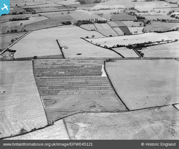
EPW045121 ENGLAND (1934). Trial plots and fields between Runcorn Road and Leigh Lane, Little Leigh, 1934
© Copyright OpenStreetMap contributors and licensed by the OpenStreetMap Foundation. 2026. Cartography is licensed as CC BY-SA.
Nearby Images (21)
EPW045121

EPW045125

EPW032585

EAW030030

EPW045123

EPW032589

EAW030029

EPW045120

EAW030031

EPW045124

EAW030019

EAW030020

EAW030028

EAW030035

EPW045122

EAW030033

EAW030032

EAW017275

EAW030034

EAW030040

EAW030044

Details
| Title | [EPW045121] Trial plots and fields between Runcorn Road and Leigh Lane, Little Leigh, 1934 |
| Reference | EPW045121 |
| Date | July-1934 |
| Link | |
| Place name | LITTLE LEIGH |
| Parish | LITTLE LEIGH |
| District | |
| Country | ENGLAND |
| Easting / Northing | 361263, 376744 |
| Longitude / Latitude | -2.5811187268396, 53.285973573684 |
| National Grid Reference | SJ613767 |
Pins

Bottom Yard |
Monday 3rd of December 2018 04:43:28 PM | |
|
Bottom Yard |
Monday 3rd of December 2018 04:40:54 PM | |
|
Bottom Yard |
Monday 3rd of December 2018 04:38:45 PM | |
|
Bottom Yard |
Monday 3rd of December 2018 04:29:29 PM | |
|
Bottom Yard |
Monday 3rd of December 2018 04:28:41 PM | |
|
Bottom Yard |
Monday 3rd of December 2018 04:25:57 PM | |
|
Bottom Yard |
Monday 3rd of December 2018 04:21:35 PM | |
|
Bottom Yard |
Monday 3rd of December 2018 04:20:22 PM | |
|
Bottom Yard |
Monday 3rd of December 2018 04:18:53 PM |