
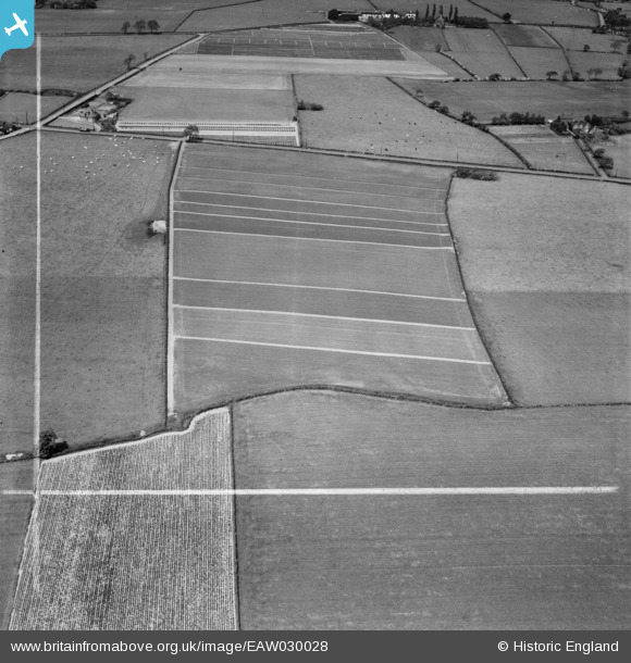
EAW030028 ENGLAND (1950). Fields to the south of Ash Tree Farm, Little Leigh, 1950. This image was marked by Aerofilms Ltd for photo editing.
© Copyright OpenStreetMap contributors and licensed by the OpenStreetMap Foundation. 2026. Cartography is licensed as CC BY-SA.
Nearby Images (17)
EAW030028

EPW045122

EAW030031

EPW045124

EPW045120

EAW030029

EPW045123

EAW030020

EAW030030

EAW030019

EPW045125

EPW045121

EAW030026

EAW030027

EPW032585

EAW030025

EAW030024

Details
| Title | [EAW030028] Fields to the south of Ash Tree Farm, Little Leigh, 1950. This image was marked by Aerofilms Ltd for photo editing. |
| Reference | EAW030028 |
| Date | 1-June-1950 |
| Link | |
| Place name | LITTLE LEIGH |
| Parish | LITTLE LEIGH |
| District | |
| Country | ENGLAND |
| Easting / Northing | 361140, 376594 |
| Longitude / Latitude | -2.5829454721983, 53.284616171345 |
| National Grid Reference | SJ611766 |
Pins

Bottom Yard |
Tuesday 11th of December 2018 07:39:55 PM | |
|
Bottom Yard |
Tuesday 11th of December 2018 06:46:34 PM | |
|
Bottom Yard |
Tuesday 11th of December 2018 06:45:35 PM | |
|
Bottom Yard |
Tuesday 11th of December 2018 06:42:51 PM | |
|
Bottom Yard |
Tuesday 11th of December 2018 06:41:00 PM |