
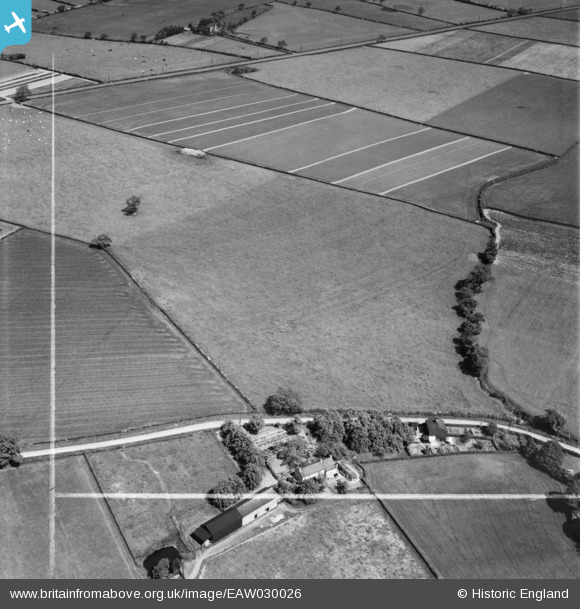
EAW030026 ENGLAND (1950). Fields to the east of Rosebank Cottage, Little Leigh, 1950. This image was marked by Aerofilms Ltd for photo editing.
© Copyright OpenStreetMap contributors and licensed by the OpenStreetMap Foundation. 2026. Cartography is licensed as CC BY-SA.
Nearby Images (16)
EAW030026

EAW030024

EAW030027

EAW030025

EAW030020

EAW030019

EPW045124

EPW045122

EAW030028

EAW030031

EAW030029

EAW030034

EPW045120

EAW030032

EAW030033

EAW030035

Details
| Title | [EAW030026] Fields to the east of Rosebank Cottage, Little Leigh, 1950. This image was marked by Aerofilms Ltd for photo editing. |
| Reference | EAW030026 |
| Date | 1-June-1950 |
| Link | |
| Place name | LITTLE LEIGH |
| Parish | LITTLE LEIGH |
| District | |
| Country | ENGLAND |
| Easting / Northing | 360942, 376650 |
| Longitude / Latitude | -2.5859224204987, 53.28510501901 |
| National Grid Reference | SJ609767 |
Pins
Be the first to add a comment to this image!