
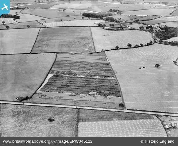
EPW045122 ENGLAND (1934). Trial plots and fields between Runcorn Road and Leigh Lane, Little Leigh, 1934
© Copyright OpenStreetMap contributors and licensed by the OpenStreetMap Foundation. 2026. Cartography is licensed as CC BY-SA.
Nearby Images (17)
EPW045122

EAW030028

EAW030031

EPW045124

EPW045120

EAW030029

EPW045123

EAW030020

EAW030019

EAW030030

EPW045125

EAW030026

EAW030027

EPW045121

EAW030025

EAW030024

EPW032585

Details
| Title | [EPW045122] Trial plots and fields between Runcorn Road and Leigh Lane, Little Leigh, 1934 |
| Reference | EPW045122 |
| Date | July-1934 |
| Link | |
| Place name | LITTLE LEIGH |
| Parish | LITTLE LEIGH |
| District | |
| Country | ENGLAND |
| Easting / Northing | 361129, 376581 |
| Longitude / Latitude | -2.583108884777, 53.284498503557 |
| National Grid Reference | SJ611766 |
Pins

Bottom Yard |
Wednesday 12th of December 2018 03:39:38 PM | |
|
Bottom Yard |
Wednesday 12th of December 2018 03:37:39 PM | |
|
Bottom Yard |
Monday 3rd of December 2018 04:54:00 PM | |
|
totoro |
Wednesday 31st of July 2013 03:27:59 PM | |
|
totoro |
Wednesday 31st of July 2013 03:26:42 PM | |
|
totoro |
Wednesday 31st of July 2013 03:25:49 PM | |
|
totoro |
Wednesday 31st of July 2013 03:25:03 PM | |
|
totoro |
Wednesday 31st of July 2013 03:23:54 PM | |
|
totoro |
Wednesday 31st of July 2013 03:22:53 PM | |
|
totoro |
Wednesday 31st of July 2013 03:22:16 PM | |
|
totoro |
Wednesday 31st of July 2013 03:10:41 PM | |
|
totoro |
Wednesday 31st of July 2013 03:10:18 PM | |
|
totoro |
Wednesday 31st of July 2013 03:09:22 PM |