
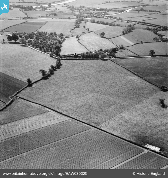
EAW030025 ENGLAND (1950). Fields to the north and south of Willowgreen Road, Little Leigh, 1950
© Copyright OpenStreetMap contributors and licensed by the OpenStreetMap Foundation. 2026. Cartography is licensed as CC BY-SA.
Nearby Images (9)
EAW030025

EAW030027

EAW030024

EAW030026

EAW030020

EPW045124

EPW045122

EAW030019

EAW030028

Details
| Title | [EAW030025] Fields to the north and south of Willowgreen Road, Little Leigh, 1950 |
| Reference | EAW030025 |
| Date | 1-June-1950 |
| Link | |
| Place name | LITTLE LEIGH |
| Parish | LITTLE LEIGH |
| District | |
| Country | ENGLAND |
| Easting / Northing | 360901, 376611 |
| Longitude / Latitude | -2.5865326393396, 53.284751412721 |
| National Grid Reference | SJ609766 |
Pins
Be the first to add a comment to this image!