
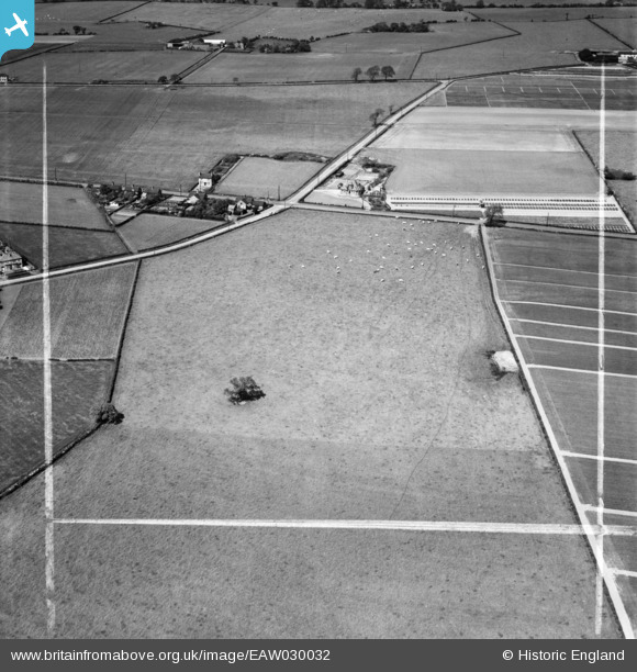
EAW030032 ENGLAND (1950). Fields around The Homestead, Little Leigh, 1950. This image was marked by Aerofilms Ltd for photo editing.
© Copyright OpenStreetMap contributors and licensed by the OpenStreetMap Foundation. 2026. Cartography is licensed as CC BY-SA.
Nearby Images (26)
EAW030032

EAW030033

EAW030035

EAW030034

EAW030044

EAW030019

EAW030040

EAW030020

EAW017275

EAW030030

EAW017279

EPW032585

EPW045125

EPW032589

EPW045121

EAW030029

EPW045124

EAW017276

EAW016759

EPW045120

EAW030026

EPW045123

EAW030024

EPW057549

EAW016761

EAW030022

Details
| Title | [EAW030032] Fields around The Homestead, Little Leigh, 1950. This image was marked by Aerofilms Ltd for photo editing. |
| Reference | EAW030032 |
| Date | 1-June-1950 |
| Link | |
| Place name | LITTLE LEIGH |
| Parish | LITTLE LEIGH |
| District | |
| Country | ENGLAND |
| Easting / Northing | 361086, 376880 |
| Longitude / Latitude | -2.5837905313699, 53.28718315429 |
| National Grid Reference | SJ611769 |
Pins
Be the first to add a comment to this image!