
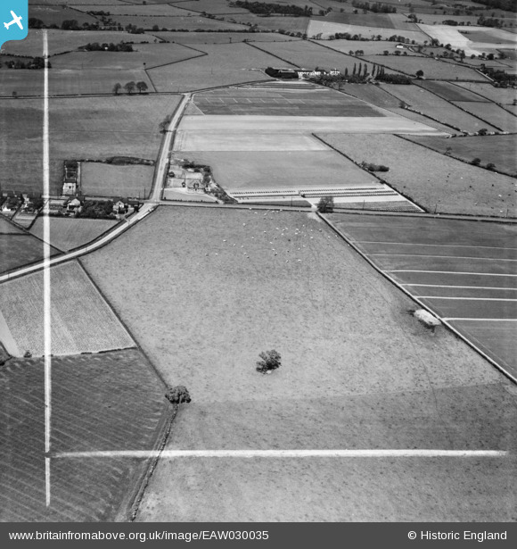
EAW030035 ENGLAND (1950). Fields to the south-west of Ash Tree Farm, Little Leigh, 1950. This image was marked by Aerofilms Ltd for photo editing.
© Copyright OpenStreetMap contributors and licensed by the OpenStreetMap Foundation. 2026. Cartography is licensed as CC BY-SA.
Nearby Images (28)
EAW030035

EAW030033

EAW030032

EAW030034

EAW030044

EAW030040

EAW030019

EAW017275

EAW030030

EAW030020

EPW032589

EPW032585

EAW017279

EPW045125

EPW045121

EAW030029

EAW017276

EPW045124

EAW016759

EPW045123

EAW016761

EPW057549

EAW030022

EAW030026

EAW030021

EAW030024

EPW057553

EAW016762

Details
| Title | [EAW030035] Fields to the south-west of Ash Tree Farm, Little Leigh, 1950. This image was marked by Aerofilms Ltd for photo editing. |
| Reference | EAW030035 |
| Date | 1-June-1950 |
| Link | |
| Place name | LITTLE LEIGH |
| Parish | LITTLE LEIGH |
| District | |
| Country | ENGLAND |
| Easting / Northing | 361119, 376885 |
| Longitude / Latitude | -2.583296103349, 53.28723052294 |
| National Grid Reference | SJ611769 |
Pins
Be the first to add a comment to this image!