
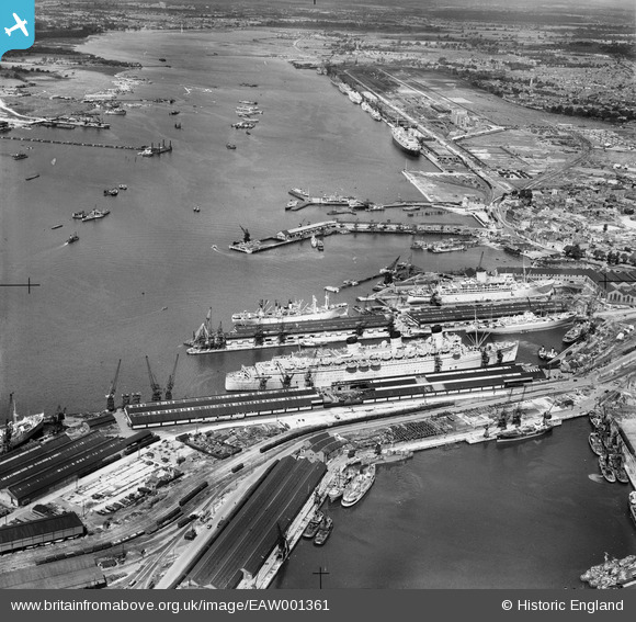
EAW001361 ENGLAND (1946). The Docks, Southampton, 1946
© Copyright OpenStreetMap contributors and licensed by the OpenStreetMap Foundation. 2026. Cartography is licensed as CC BY-SA.
Nearby Images (44)
EAW001361

EAW015268

EAW001370
 in Ocean Dock, Southampton, 1946")
EPW020527

EPW020445

EAW015267

EPW009074

EPW037430

EAW008845

EAW001355

EAW051594

EAW033415

EPW020455

EPW041072

EAW046508

EAW001371
 in Ocean Dock, Southampton, 1946")
EPW000238

EAW001368
 in Ocean Dock, Southampton, 1946")
EPW020452

EAW008810

EPW041073

EAW001372
 in Ocean Dock, Southampton, 1946")
EPW041070

EPW009069

EAW035248

EAW046507

EPW032345

EAW033412

EAW001358

EAW191249

EPW009071

EPW009070

EAW035249

EAW033429

EAW051593

EAW020646
 Marine Airport and the surrounding docks, Southampton, 1948")
EAW035250

EAW020645
 Marine Airport and the surrounding docks, Southampton, 1948")
EAW189228

EAW033407

EAW046509

EAW001373
 in Ocean Dock, Southampton, 1946")
EAW020647
 Marine Airport and the surrounding docks, Southampton, 1948")
EAW001374
 in Ocean Dock, Southampton, 1946")
Details
| Title | [EAW001361] The Docks, Southampton, 1946 |
| Reference | EAW001361 |
| Date | 28-June-1946 |
| Link | |
| Place name | SOUTHAMPTON |
| Parish | |
| District | |
| Country | ENGLAND |
| Easting / Northing | 442188, 110428 |
| Longitude / Latitude | -1.4001124622724, 50.891239523285 |
| National Grid Reference | SU422104 |
Pins

Sergey |
Monday 17th of October 2022 10:33:21 PM | |
|
Alan Baker |
Friday 26th of August 2022 12:16:42 PM | |
|
Kentishman |
Friday 10th of April 2020 09:49:37 PM | |
|
Isleworth1961 |
Saturday 10th of February 2018 12:57:40 AM |