
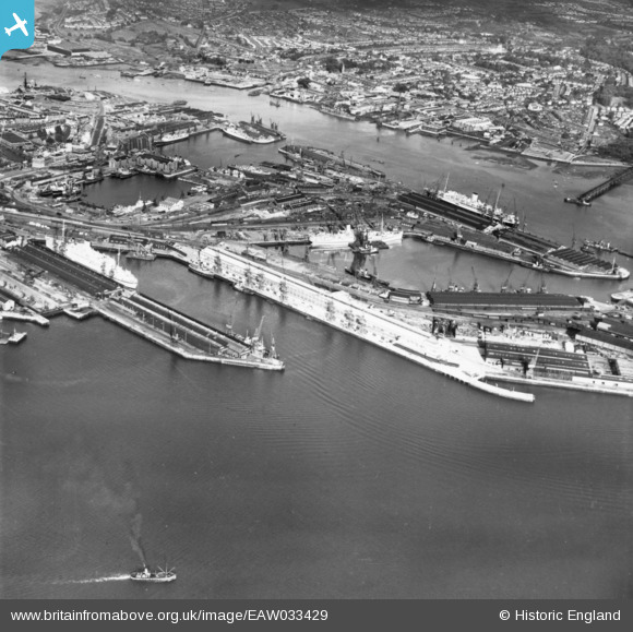
EAW033429 ENGLAND (1950). The Docks, Southampton, 1950. This image has been produced from a print.
© Copyright OpenStreetMap contributors and licensed by the OpenStreetMap Foundation. 2026. Cartography is licensed as CC BY-SA.
Nearby Images (38)
EAW033429

EAW033412

EPW009069

EAW033407

EAW035249

EAW001371
 in Ocean Dock, Southampton, 1946")
EAW035250

EAW001373
 in Ocean Dock, Southampton, 1946")
EAW051593

EAW001372
 in Ocean Dock, Southampton, 1946")
EPW009071

EAW033406

EAW035248

EAW046508

EAW046509

EAW046507

EPW032345

EAW046506

EAW046505

EAW001368
 in Ocean Dock, Southampton, 1946")
EAW051594

EAW191249

EAW001370
 in Ocean Dock, Southampton, 1946")
EPW020451

EPW009074

EPW009070

EPW020527

EAW008845

EAW015268

EAW033415

EAW086604

EAW001361

EAW001346

EAW015267

EPW032343

EPW041070

EPW020455

EAW033413

Details
| Title | [EAW033429] The Docks, Southampton, 1950. This image has been produced from a print. |
| Reference | EAW033429 |
| Date | 11-October-1950 |
| Link | |
| Place name | SOUTHAMPTON |
| Parish | |
| District | |
| Country | ENGLAND |
| Easting / Northing | 442405, 110342 |
| Longitude / Latitude | -1.3970370227219, 50.890450234369 |
| National Grid Reference | SU424103 |
Pins
Be the first to add a comment to this image!