
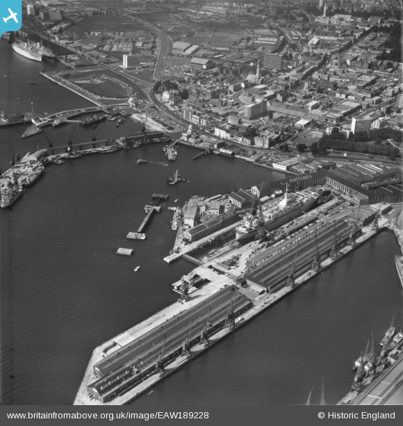
EAW189228 ENGLAND (1968). Southampton Docks, Southampton, 1968
© Copyright OpenStreetMap contributors and licensed by the OpenStreetMap Foundation. 2026. Cartography is licensed as CC BY-SA.
Nearby Images (33)
EAW189228

EAW008802

EAW020646
 Marine Airport and the surrounding docks, Southampton, 1948")
EAW020645
 Marine Airport and the surrounding docks, Southampton, 1948")
EAW020647
 Marine Airport and the surrounding docks, Southampton, 1948")
EAW001358

EPW020452

EAW008796

EPW032342

EPW037430

EAW001347

EAW001375

EPW020455

EPW041073

EAW008803

EAW001355

EAW008795

EAW008791

EAW008798

EAW015267

EAW008812

EAW008800

EAW001374
 in Ocean Dock, Southampton, 1946")
EAW033415

EAW008801

EPW020527

EAW008845

EAW001361

EPW009074

EPW020445

EPW041065

EAW001370
 in Ocean Dock, Southampton, 1946")
EAW001368
 in Ocean Dock, Southampton, 1946")
Details
| Title | [EAW189228] Southampton Docks, Southampton, 1968 |
| Reference | EAW189228 |
| Date | 22-August-1968 |
| Link | |
| Place name | SOUTHAMPTON |
| Parish | NON CIVIL PARISH |
| District | |
| Country | ENGLAND |
| Easting / Northing | 442140, 110675 |
| Longitude / Latitude | -1.4007664505111, 50.893464287111 |
| National Grid Reference | SU421107 |
Pins

hrothery8 |
Sunday 7th of June 2020 03:21:33 PM | |
|
brianbeckett |
Saturday 30th of May 2020 09:04:46 AM | |
|
brianbeckett |
Saturday 30th of May 2020 08:59:34 AM | |
|
brianbeckett |
Saturday 30th of May 2020 08:57:41 AM | |
|
Coventry kid |
Tuesday 17th of May 2016 08:19:27 PM | |
 |

Billy Turner |
Sunday 24th of April 2016 06:40:00 PM |
This not a car spotting site! |
brianbeckett |
Saturday 30th of May 2020 09:02:31 AM |
 |
Billy Turner |
Sunday 24th of April 2016 06:37:50 PM |
 |
Billy Turner |
Sunday 24th of April 2016 06:35:00 PM |