
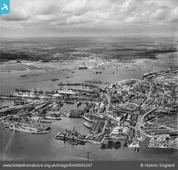
EAW001347 ENGLAND (1946). Inner and Outer Docks and environs, Southampton, from the east, 1946
© Copyright OpenStreetMap contributors and licensed by the OpenStreetMap Foundation. 2026. Cartography is licensed as CC BY-SA.
Nearby Images (23)
EAW001347

EAW008798

EAW008791

EAW008796

EAW008801

EPW041064

EAW008795

EAW001375

EAW008800

EAW008803

EPW032342

EAW008802

EAW189228

EAW020646
 Marine Airport and the surrounding docks, Southampton, 1948")
EAW020645
 Marine Airport and the surrounding docks, Southampton, 1948")
EAW020647
 Marine Airport and the surrounding docks, Southampton, 1948")
EPW041065

EAW001374
 in Ocean Dock, Southampton, 1946")
EPW020455

EAW001358

EPW009077

EPW020452

EPW042962

Details
| Title | [EAW001347] Inner and Outer Docks and environs, Southampton, from the east, 1946 |
| Reference | EAW001347 |
| Date | 28-June-1946 |
| Link | |
| Place name | SOUTHAMPTON |
| Parish | |
| District | |
| Country | ENGLAND |
| Easting / Northing | 442187, 110824 |
| Longitude / Latitude | -1.4000809318604, 50.894800803914 |
| National Grid Reference | SU422108 |
Pins

Matt Aldred edob.mattaldred.com |
Saturday 11th of July 2026 08:15:18 PM | |

Jessie Russel |
Monday 7th of July 2025 10:37:29 PM | |
|
Jessie Russel |
Monday 7th of July 2025 10:33:47 PM | |
|
Andy Russel |
Sunday 2nd of August 2020 09:19:16 AM | |
|
Graham Yaxley |
Monday 5th of January 2015 06:26:48 PM | |
|
Graham Yaxley |
Monday 5th of January 2015 06:24:59 PM | |
|
Graham Yaxley |
Monday 5th of January 2015 06:22:32 PM | |
|
Graham Yaxley |
Monday 5th of January 2015 12:14:39 AM |
User Comment Contributions
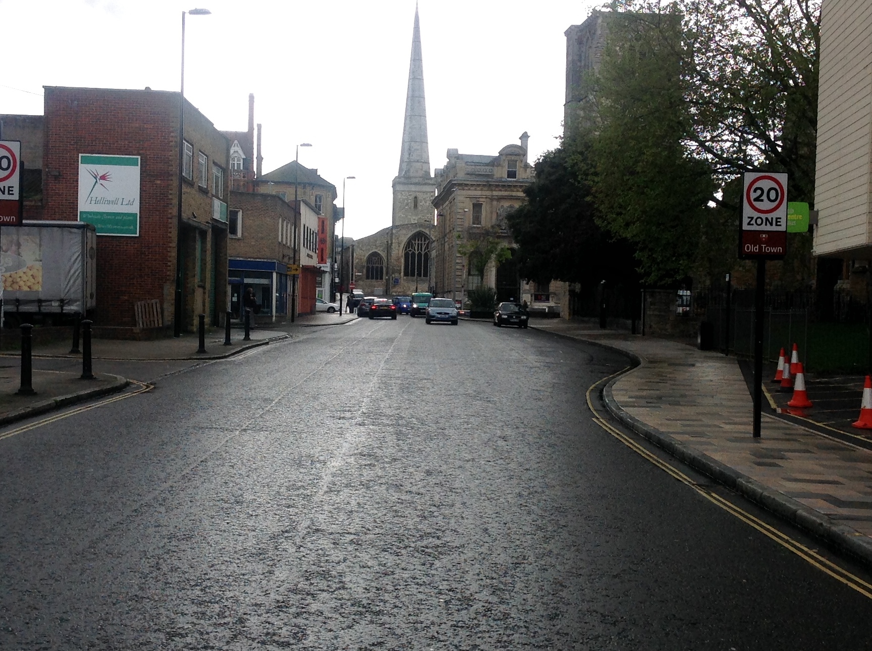
St. Michael's Church from Bernard Street 01/05/2014 |

Class31 |
Friday 2nd of May 2014 04:08:40 PM |