
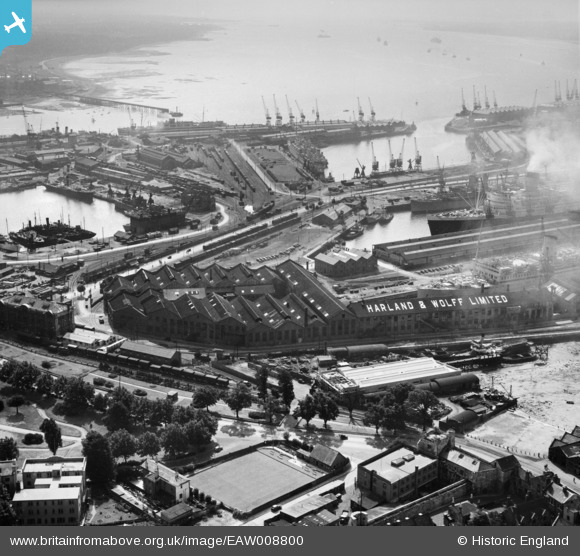
EAW008800 ENGLAND (1947). Harland & Wolff Ltd Shipbuilding and Engineering Works and the docks, Southampton, 1947
© Copyright OpenStreetMap contributors and licensed by the OpenStreetMap Foundation. 2026. Cartography is licensed as CC BY-SA.
Nearby Images (20)
EAW008800

EAW008795

EAW008803

EAW001375

EAW008791

EAW008801

EAW008798

EAW008796

EAW001347

EAW001374
 in Ocean Dock, Southampton, 1946")
EPW020450

EAW008802

EPW041064

EPW000322

EAW020646
 Marine Airport and the surrounding docks, Southampton, 1948")
EAW189228

EPW009077

EPW020455

EAW020645
 Marine Airport and the surrounding docks, Southampton, 1948")
EPW001504

Details
| Title | [EAW008800] Harland & Wolff Ltd Shipbuilding and Engineering Works and the docks, Southampton, 1947 |
| Reference | EAW008800 |
| Date | 9-August-1947 |
| Link | |
| Place name | SOUTHAMPTON |
| Parish | |
| District | |
| Country | ENGLAND |
| Easting / Northing | 442315, 110795 |
| Longitude / Latitude | -1.3982641793078, 50.894530641329 |
| National Grid Reference | SU423108 |
Pins
 |

Class31 |
Saturday 31st of May 2014 07:41:03 AM |