
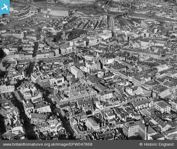
EPW047868 ENGLAND (1935). Bishop Street and environs, Leicester, 1935
© Hawlfraint cyfranwyr OpenStreetMap a thrwyddedwyd gan yr OpenStreetMap Foundation. 2026. Trwyddedir y gartograffeg fel CC BY-SA.
Delweddau cyfagos (35)
EPW047868

EPW020892

EPW018421

EPW018436

EPW055002

EPW020824

EAW024240

EPW020822

EPW020819

EPW018431

EPW020817

EAW024241

EPW020815

EPW020816

EPW018412

EAW052680
 Factory on Charles Street, Leicester, 1953. This image was marked by Aerofilms Ltd for photo editing.")
EAW052676
 Factory on Charles Street and St George's Church, Leicester, 1953. This image was marked by Aerofilms Ltd for photo editing.")
EPW018461

EPW018415

EAW052675
 Factory on Charles Street, Leicester, 1953. This image was marked by Aerofilms Ltd for photo editing.")
EAW052674
 Factory on Charles Street, St George's Church and Rutland Street, Leicester, 1953. This image was marked by Aerofilms Ltd for photo editing.")
EAW051834

EPW055011

EAW052679
 Factory on Charles Street, Leicester, 1953. This image was marked by Aerofilms Ltd for photo editing.")
EPW018422

EPW020825

EPW020826

EAW052681
 Factory on Charles Street and St George's Church, Leicester, 1953. This image was marked by Aerofilms Ltd for photo editing.")
EAW052678
 Factory on Charles Street, Leicester, 1953. This image was marked by Aerofilms Ltd for photo editing.")
EPW055009

EPW020814

EAW051828

EPW020818

EPW061211

EAW051830

Manylion
| Pennawd | [EPW047868] Bishop Street and environs, Leicester, 1935 |
| Cyfeirnod | EPW047868 |
| Dyddiad | June-1935 |
| Dolen | |
| Enw lle | LEICESTER |
| Plwyf | |
| Ardal | |
| Gwlad | ENGLAND |
| Dwyreiniad / Gogleddiad | 458907, 304307 |
| Hydred / Lledred | -1.1295076734066, 52.632963024992 |
| Cyfeirnod Grid Cenedlaethol | SK589043 |
