
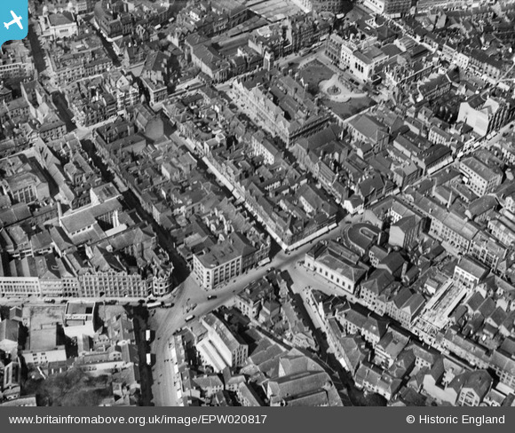
EPW020817 ENGLAND (1928). Belvoir Street and environs, Leicester, 1928
© Hawlfraint cyfranwyr OpenStreetMap a thrwyddedwyd gan yr OpenStreetMap Foundation. 2026. Trwyddedir y gartograffeg fel CC BY-SA.
Delweddau cyfagos (24)
EPW020817

EPW020815

EPW020819

EPW020824

EPW020816

EPW020822

EPW018415

EAW024241

EPW018461

EPW020825

EPW020826

EPW020814

EPW020818

EAW051830

EPW055010

EAW051828

EPW047868

EPW018421

EPW020892

EPW061211

EPW018436

EPW047642

EPW018431

EAW024240

Manylion
| Pennawd | [EPW020817] Belvoir Street and environs, Leicester, 1928 |
| Cyfeirnod | EPW020817 |
| Dyddiad | April-1928 |
| Dolen | |
| Enw lle | LEICESTER |
| Plwyf | |
| Ardal | |
| Gwlad | ENGLAND |
| Dwyreiniad / Gogleddiad | 458769, 304215 |
| Hydred / Lledred | -1.131563075737, 52.632150932185 |
| Cyfeirnod Grid Cenedlaethol | SK588042 |
Pinnau
Cyfraniadau Grŵp
Town hall and square top of picture just right of centre. Start of Welford Rd at junction with Newarke Street bottom left (zoom in to see tram lines and a clearly different traffic flow. |

Timboishere |
Thursday 28th of June 2012 02:20:11 PM |