
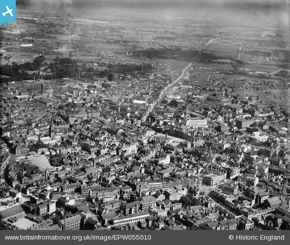
EPW055010 ENGLAND (1937). The city centre, Leicester, from the south-west, 1937
© Hawlfraint cyfranwyr OpenStreetMap a thrwyddedwyd gan yr OpenStreetMap Foundation. 2026. Trwyddedir y gartograffeg fel CC BY-SA.
Delweddau cyfagos (28)
EPW055010

EPW020826

EPW020814

EPW020825

EPW020815

EPW018415

EPW020817

EPW020818

EAW051830

EPW020816

EPW020824

EPW020819

EPW061211

EPW047642

EPW018461

EPW020822

EAW024241

EPW018421

EPW018420

EAW051828

EPW020892

EPW018436

EPW018431

EPW008476

EAW024240

EPW008475

EPW008474

EPW018412

Manylion
| Pennawd | [EPW055010] The city centre, Leicester, from the south-west, 1937 |
| Cyfeirnod | EPW055010 |
| Dyddiad | August-1937 |
| Dolen | |
| Enw lle | LEICESTER |
| Plwyf | |
| Ardal | |
| Gwlad | ENGLAND |
| Dwyreiniad / Gogleddiad | 458655, 304251 |
| Hydred / Lledred | -1.1332410625146, 52.632486897308 |
| Cyfeirnod Grid Cenedlaethol | SK587043 |
Pinnau

Peter Smith |
Monday 10th of August 2020 02:37:50 PM | |
|
Peter Smith |
Monday 10th of August 2020 02:37:04 PM | |
 Dolman St Store.jpg)
electricar.dv4 |
Sunday 28th of August 2016 08:43:17 PM | |
|
electricar.dv4 |
Sunday 28th of August 2016 08:42:32 PM |