
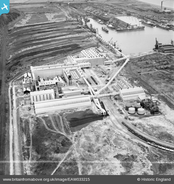
EAW033215 ENGLAND (1950). The Fisons Ltd Chemical Works and Immingham Dock, Immingham, 1950. This image was marked by Aerofilms Ltd for photo editing.
© Copyright OpenStreetMap contributors and licensed by the OpenStreetMap Foundation. 2026. Cartography is licensed as CC BY-SA.
Nearby Images (19)
EAW033215

EAW033209

EAW033211

EAW033210

EAW033212

EAW033216

EAW033218

EAW029100

EAW029097

EAW029099

EAW029102

EAW033219

EAW029093

EAW033217

EAW033214

EAW029094

EAW033208

EAW033205

EAW029096

Details
| Title | [EAW033215] The Fisons Ltd Chemical Works and Immingham Dock, Immingham, 1950. This image was marked by Aerofilms Ltd for photo editing. |
| Reference | EAW033215 |
| Date | 6-October-1950 |
| Link | |
| Place name | IMMINGHAM |
| Parish | IMMINGHAM |
| District | |
| Country | ENGLAND |
| Easting / Northing | 519858, 415505 |
| Longitude / Latitude | -0.18759788712332, 53.622110035925 |
| National Grid Reference | TA199155 |
Pins
Be the first to add a comment to this image!