
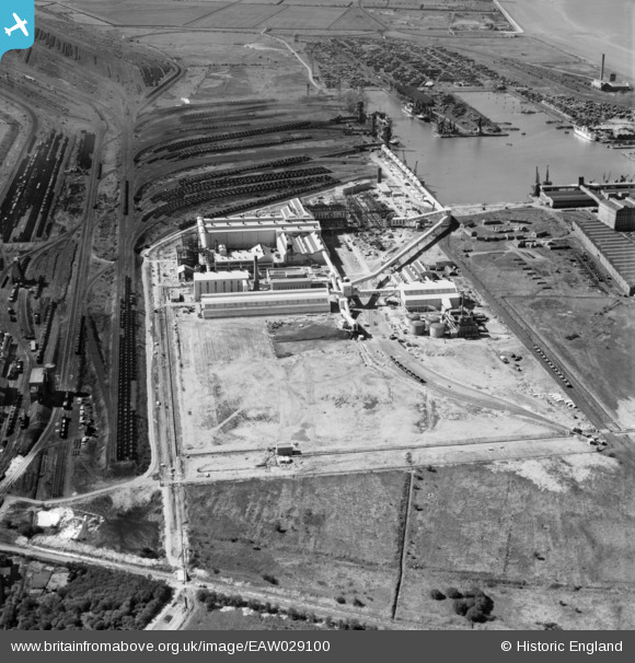
EAW029100 ENGLAND (1950). Immingham Dock, Immingham, 1950
© Copyright OpenStreetMap contributors and licensed by the OpenStreetMap Foundation. 2026. Cartography is licensed as CC BY-SA.
Nearby Images (11)
EAW029100

EAW029097

EAW033215

EAW033216

EAW029099

EAW033211

EAW033209

EAW033210

EAW033212

EAW033218

EAW029102

Details
| Title | [EAW029100] Immingham Dock, Immingham, 1950 |
| Reference | EAW029100 |
| Date | 4-May-1950 |
| Link | |
| Place name | IMMINGHAM |
| Parish | IMMINGHAM |
| District | |
| Country | ENGLAND |
| Easting / Northing | 519923, 415416 |
| Longitude / Latitude | -0.18664983210513, 53.621295508596 |
| National Grid Reference | TA199154 |
Pins

MB |
Friday 21st of February 2014 09:45:59 PM | |
|
MB |
Friday 21st of February 2014 09:44:57 PM | |
It should be noted that these hoists were to load coal for exporting as opposed to to-days traffic were the coal is being imported! |
John Wass |
Saturday 12th of July 2014 11:09:55 AM |
User Comment Contributions
Hundreds of coal trucks inefficiently sitting idle in sidings. Before the days of more efficient rail freight systems such as merry-go-rounds from coal mines to power stations, etc |
MB |
Friday 21st of February 2014 09:50:02 PM |