
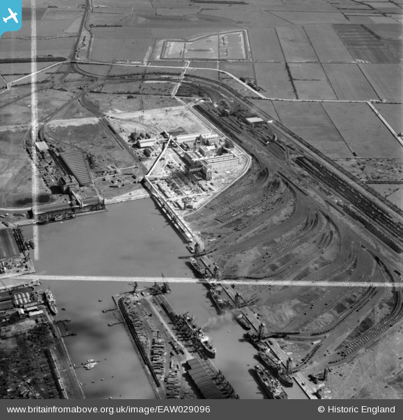
EAW029096 ENGLAND (1950). Immingham Dock, Immingham, 1950. This image was marked by Aerofilms Ltd for photo editing.
© Copyright OpenStreetMap contributors and licensed by the OpenStreetMap Foundation. 2026. Cartography is licensed as CC BY-SA.
Nearby Images (18)
EAW029096

EAW033205

EAW033208

EAW033217

EAW029094

EAW033207

EAW033213

EAW033206

EAW033219

EAW033214

EAW033218

EAW029093

EAW033210

EAW033212

EAW033209

EAW029101

EAW033211

EAW033215

Details
| Title | [EAW029096] Immingham Dock, Immingham, 1950. This image was marked by Aerofilms Ltd for photo editing. |
| Reference | EAW029096 |
| Date | 4-May-1950 |
| Link | |
| Place name | IMMINGHAM |
| Parish | IMMINGHAM |
| District | |
| Country | ENGLAND |
| Easting / Northing | 519660, 415715 |
| Longitude / Latitude | -0.19050952463857, 53.624042126729 |
| National Grid Reference | TA197157 |
Pins

redmist |
Friday 1st of April 2022 01:42:22 PM |