
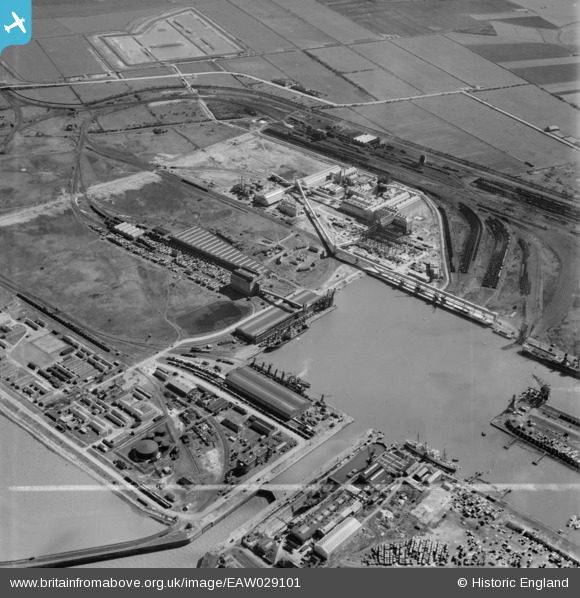
EAW029101 ENGLAND (1950). Immingham Dock, Immingham, 1950. This image was marked by Aerofilms Ltd for photo editing.
© Copyright OpenStreetMap contributors and licensed by the OpenStreetMap Foundation. 2026. Cartography is licensed as CC BY-SA.
Nearby Images (12)
EAW029101

EAW033214

EAW033213

EAW033219

EAW033206

EAW033207

EAW033208

EAW033205

EAW033212

EAW033217

EAW029096

EAW029094

Details
| Title | [EAW029101] Immingham Dock, Immingham, 1950. This image was marked by Aerofilms Ltd for photo editing. |
| Reference | EAW029101 |
| Date | 4-May-1950 |
| Link | |
| Place name | IMMINGHAM |
| Parish | IMMINGHAM |
| District | |
| Country | ENGLAND |
| Easting / Northing | 519885, 415831 |
| Longitude / Latitude | -0.18706428101632, 53.625032890711 |
| National Grid Reference | TA199158 |
Pins

Matt Aldred edob.mattaldred.com |
Saturday 27th of February 2021 11:49:23 AM | |

redmist |
Saturday 23rd of February 2019 10:00:52 PM | |
|
redmist |
Saturday 23rd of February 2019 09:59:40 PM |