
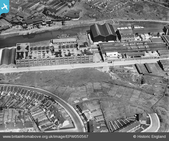
EPW050567 ENGLAND (1936). St Anne's Board Mill Co Ltd Works, Bristol, 1936
© Hawlfraint cyfranwyr OpenStreetMap a thrwyddedwyd gan yr OpenStreetMap Foundation. 2026. Trwyddedir y gartograffeg fel CC BY-SA.
Delweddau cyfagos (22)
EPW050567

EPW050561

EPW050566

EPW060110

EPW050470

EPW060105

EPW050559

EPW060109

EPW050572

EPW060114

EPW050468

EPW060113

EPW005538

EPW050564

EPW050469

EPW050562

EPW060111

EPW050565

EPW050465

EPW060112

EPW050571

EPW060106

Manylion
| Pennawd | [EPW050567] St Anne's Board Mill Co Ltd Works, Bristol, 1936 |
| Cyfeirnod | EPW050567 |
| Dyddiad | June-1936 |
| Dolen | |
| Enw lle | BRISTOL |
| Plwyf | |
| Ardal | |
| Gwlad | ENGLAND |
| Dwyreiniad / Gogleddiad | 361939, 172758 |
| Hydred / Lledred | -2.5478083906634, 51.452035419227 |
| Cyfeirnod Grid Cenedlaethol | ST619728 |
Pinnau

SteveAUS |
Wednesday 8th of May 2013 05:12:40 AM |
Cyfraniadau Grŵp
It's Woodside Road in the process of being made. I grew on Newbridge Road just round the corner from there. |
kellysheppard510@ymail.com |
Monday 18th of July 2016 12:20:32 PM |