
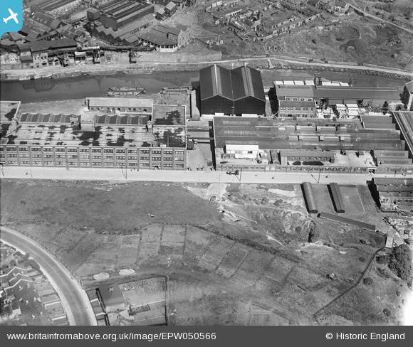
EPW050566 ENGLAND (1936). St Anne's Board Mill Co Ltd Works, Bristol, 1936
© Hawlfraint cyfranwyr OpenStreetMap a thrwyddedwyd gan yr OpenStreetMap Foundation. 2026. Trwyddedir y gartograffeg fel CC BY-SA.
Delweddau cyfagos (22)
EPW050566

EPW050567

EPW050561

EPW060110

EPW060105

EPW060114

EPW050470

EPW050559

EPW060109

EPW005538

EPW050572

EPW060113

EPW050468

EPW050564

EPW060111

EPW050565

EPW050469

EPW060112

EPW050562

EPW050465

EPW050571

EPW060106

Manylion
| Pennawd | [EPW050566] St Anne's Board Mill Co Ltd Works, Bristol, 1936 |
| Cyfeirnod | EPW050566 |
| Dyddiad | June-1936 |
| Dolen | |
| Enw lle | BRISTOL |
| Plwyf | |
| Ardal | |
| Gwlad | ENGLAND |
| Dwyreiniad / Gogleddiad | 361946, 172784 |
| Hydred / Lledred | -2.5477104429502, 51.452269686278 |
| Cyfeirnod Grid Cenedlaethol | ST619728 |
Pinnau

MB |
Sunday 12th of May 2013 10:16:16 PM | |
1946 aerial photo on "Bristol Know Your Place" web site, shows the same feature. |
Ken Coal |
Wednesday 26th of June 2013 08:12:36 PM |