
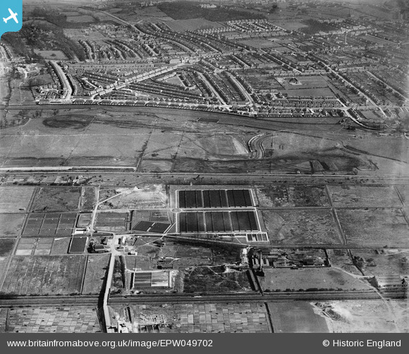
EPW049702 ENGLAND (1936). Edmonton Urban District Council Sewage Farm and the site of the southern end of the William Girling Reservoir showing preliminary construction works, Edmonton, 1936
© Hawlfraint cyfranwyr OpenStreetMap a thrwyddedwyd gan yr OpenStreetMap Foundation. 2026. Trwyddedir y gartograffeg fel CC BY-SA.
Delweddau cyfagos (25)
EPW049702

EPW050869

EPW058471
 Reservoir under construction, Edmonton, from the south, 1938")
EPW055982

EPW056326

EPW049528

EPW052273

EPW056325

EPW053840
 Reservoir under construction, Edmonton, 1937")
EPW053841
 Reservoir under construction, Edmonton, 1937")
EPW056817

EPW049714

EPW049715

EPW060629

EPW049722

EPW049712

EPW055987

EPW053838
 Reservoir under construction, Edmonton, 1937")
EPW056822

EPW060209
 Reservoir under construction, Edmonton, 1938")
EPW046019

EPW050862

EPW049531

EPW049727

EPW049699

Manylion
| Pennawd | [EPW049702] Edmonton Urban District Council Sewage Farm and the site of the southern end of the William Girling Reservoir showing preliminary construction works, Edmonton, 1936 |
| Cyfeirnod | EPW049702 |
| Dyddiad | March-1936 |
| Dolen | |
| Enw lle | EDMONTON |
| Plwyf | |
| Ardal | |
| Gwlad | ENGLAND |
| Dwyreiniad / Gogleddiad | 536159, 193094 |
| Hydred / Lledred | -0.032981138468395, 51.619706965975 |
| Cyfeirnod Grid Cenedlaethol | TQ362931 |
Pinnau
Byddwch y cyntaf i ychwanegu sylw at y ddelwedd hon!