
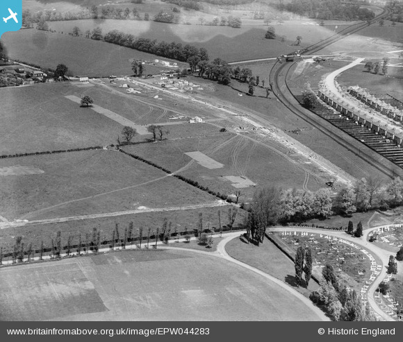
EPW044283 ENGLAND (1934). Construction site for housing at Grasmere Gardens, Harrow, 1934
© Hawlfraint cyfranwyr OpenStreetMap a thrwyddedwyd gan yr OpenStreetMap Foundation. 2026. Trwyddedir y gartograffeg fel CC BY-SA.
Delweddau cyfagos (9)
EPW044283

EPW044284

EPW044285

EPW044282

EPW044281

EPW044715

EPW044726

EPW044716

EPW044712

Manylion
| Pennawd | [EPW044283] Construction site for housing at Grasmere Gardens, Harrow, 1934 |
| Cyfeirnod | EPW044283 |
| Dyddiad | May-1934 |
| Dolen | |
| Enw lle | HARROW |
| Plwyf | |
| Ardal | |
| Gwlad | ENGLAND |
| Dwyreiniad / Gogleddiad | 516229, 189990 |
| Hydred / Lledred | -0.32178437015037, 51.596276462616 |
| Cyfeirnod Grid Cenedlaethol | TQ162900 |
Pinnau

czyrko |
Thursday 26th of August 2021 02:30:45 PM | |
|
simes188 |
Friday 29th of November 2013 07:23:14 PM | |
|
simes188 |
Sunday 24th of November 2013 10:00:57 PM | |
|
czyrko |
Friday 5th of July 2013 11:04:26 PM | |
|
czyrko |
Friday 5th of July 2013 11:03:29 PM | |
|
czyrko |
Friday 5th of July 2013 11:02:44 PM | |
|
czyrko |
Friday 5th of July 2013 11:01:25 PM | |
|
czyrko |
Friday 5th of July 2013 11:00:44 PM | |
My mistake... Belmont Halt opened 12 September 1932 - 20 months before this was snapped. |
czyrko |
Saturday 26th of April 2014 08:12:58 PM |
|
czyrko |
Friday 5th of July 2013 11:00:13 PM |