
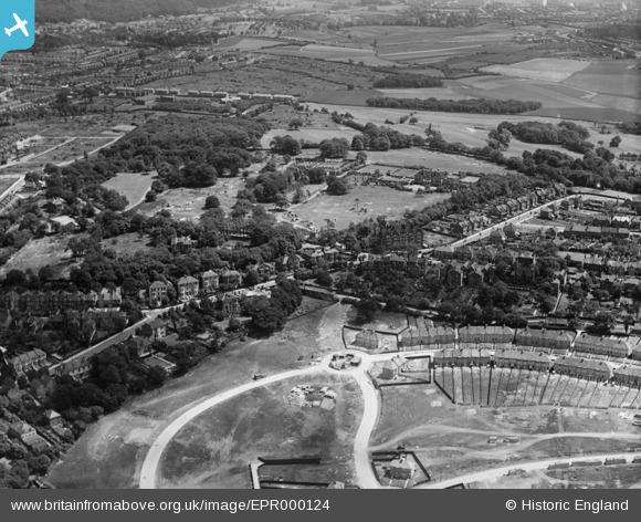
EPR000124 ENGLAND (1934). Construction of housing around Moordown, Shrewsbury Park and environs, Shooters Hill, 1934
© Hawlfraint cyfranwyr OpenStreetMap a thrwyddedwyd gan yr OpenStreetMap Foundation. 2026. Trwyddedir y gartograffeg fel CC BY-SA.
Delweddau cyfagos (11)
EPR000124

EPR000218

EPR000217

EPR000126

EPR000123

EPR000216

EPR000219

EPR000214

EPR000120

EPR000215

EPR000121

Manylion
| Pennawd | [EPR000124] Construction of housing around Moordown, Shrewsbury Park and environs, Shooters Hill, 1934 |
| Cyfeirnod | EPR000124 |
| Dyddiad | 4-July-1934 |
| Dolen | |
| Enw lle | SHOOTERS HILL |
| Plwyf | |
| Ardal | |
| Gwlad | ENGLAND |
| Dwyreiniad / Gogleddiad | 543877, 177063 |
| Hydred / Lledred | 0.071883725574492, 51.473723583254 |
| Cyfeirnod Grid Cenedlaethol | TQ439771 |
Pinnau

John W |
Monday 22nd of July 2019 07:09:00 PM | |
|
John W |
Monday 22nd of July 2019 07:08:10 PM | |
|
John W |
Monday 22nd of July 2019 07:07:20 PM | |
|
John W |
Monday 22nd of July 2019 07:04:00 PM | |
|
John W |
Monday 22nd of July 2019 07:00:56 PM | |
|
RichMoly |
Sunday 11th of January 2015 01:50:32 PM | |
|
RichMoly |
Sunday 11th of January 2015 01:49:56 PM | |
|
RichMoly |
Sunday 11th of January 2015 01:48:37 PM | |
|
RichMoly |
Sunday 11th of January 2015 01:47:33 PM |