
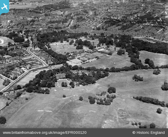
EPR000120 ENGLAND (1934). Shrewsbury House, Shooters Hill Golf Club and environs, Shooters Hill, 1934
© Hawlfraint cyfranwyr OpenStreetMap a thrwyddedwyd gan yr OpenStreetMap Foundation. 2026. Trwyddedir y gartograffeg fel CC BY-SA.
Delweddau cyfagos (10)
EPR000120

EPR000215

EPR000219

EPR000216

EPR000123

EPR000214

EPR000217

EPR000126

EPR000218

EPR000124

Manylion
| Pennawd | [EPR000120] Shrewsbury House, Shooters Hill Golf Club and environs, Shooters Hill, 1934 |
| Cyfeirnod | EPR000120 |
| Dyddiad | 4-July-1934 |
| Dolen | |
| Enw lle | SHOOTERS HILL |
| Plwyf | |
| Ardal | |
| Gwlad | ENGLAND |
| Dwyreiniad / Gogleddiad | 544081, 176964 |
| Hydred / Lledred | 0.074778957627025, 51.472781982854 |
| Cyfeirnod Grid Cenedlaethol | TQ441770 |
Pinnau

John W |
Sunday 1st of May 2016 11:19:28 AM | |
|
John W |
Sunday 1st of May 2016 11:17:59 AM | |
|
John W |
Sunday 1st of May 2016 11:15:46 AM | |
|
John W |
Sunday 1st of May 2016 11:14:47 AM | |
|
John W |
Sunday 1st of May 2016 11:10:54 AM |