
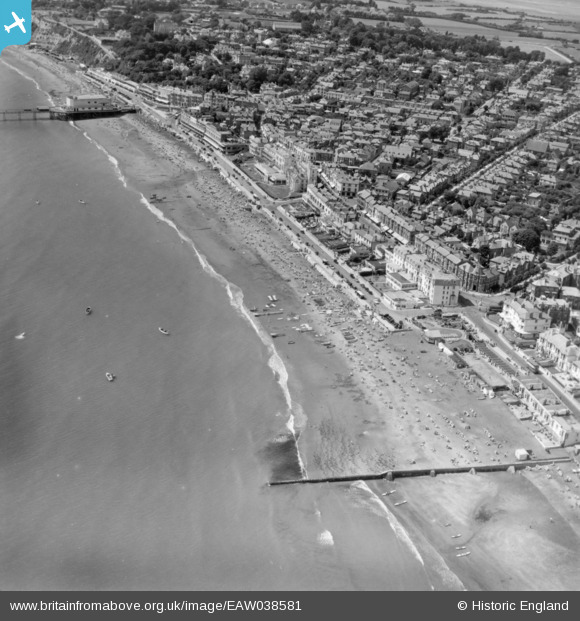
EAW038581 ENGLAND (1951). The town and seafront, Sandown, 1951. This image has been produced from a print.
© Hawlfraint cyfranwyr OpenStreetMap a thrwyddedwyd gan yr OpenStreetMap Foundation. 2026. Trwyddedir y gartograffeg fel CC BY-SA.
Delweddau cyfagos (6)
EAW038581

EAW022218

EPW023082

EPW043025

EPW043026

EPW039670

Manylion
| Pennawd | [EAW038581] The town and seafront, Sandown, 1951. This image has been produced from a print. |
| Cyfeirnod | EAW038581 |
| Dyddiad | 13-August-1951 |
| Dolen | |
| Enw lle | SANDOWN |
| Plwyf | SANDOWN |
| Ardal | |
| Gwlad | ENGLAND |
| Dwyreiniad / Gogleddiad | 460205, 84269 |
| Hydred / Lledred | -1.1482309165492, 50.654403930495 |
| Cyfeirnod Grid Cenedlaethol | SZ602843 |
Pinnau

Bluid |
Wednesday 15th of June 2016 02:27:26 PM |