
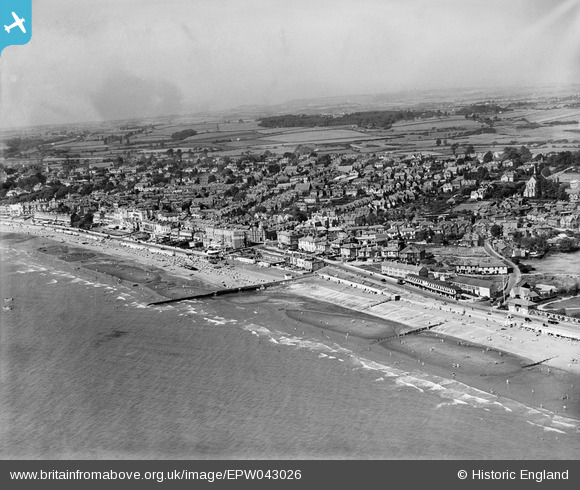
EPW043026 ENGLAND (1933). The seafront and town, Sandown, from the south-east, 1933
© Hawlfraint cyfranwyr OpenStreetMap a thrwyddedwyd gan yr OpenStreetMap Foundation. 2026. Trwyddedir y gartograffeg fel CC BY-SA.
Delweddau cyfagos (4)
EPW043026

EPW043024

EAW038581

EPW023082

Manylion
| Pennawd | [EPW043026] The seafront and town, Sandown, from the south-east, 1933 |
| Cyfeirnod | EPW043026 |
| Dyddiad | August-1933 |
| Dolen | |
| Enw lle | SANDOWN |
| Plwyf | SANDOWN |
| Ardal | |
| Gwlad | ENGLAND |
| Dwyreiniad / Gogleddiad | 460410, 84328 |
| Hydred / Lledred | -1.1453213294953, 50.654913274355 |
| Cyfeirnod Grid Cenedlaethol | SZ604843 |
Pinnau
Byddwch y cyntaf i ychwanegu sylw at y ddelwedd hon!