
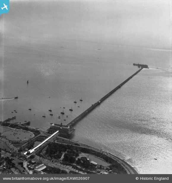
EAW026907 ENGLAND (1949). Southend Pier, Southend-on-Sea, from the north-west, 1949. This image has been produced from a print.
© Hawlfraint cyfranwyr OpenStreetMap a thrwyddedwyd gan yr OpenStreetMap Foundation. 2026. Trwyddedir y gartograffeg fel CC BY-SA.
Delweddau cyfagos (42)
EAW026907

EPW037020

EAW002203

EPW000551

EPW062740

EAW002202

EPW037015

EAW053089

EPW062739

EAW002199

EPW024885

EAW026906

EAW002198

EAW002200

EPW000448

EAW002201

EAW026899

EPW062738

EAW002217

EPW000553

EAW024662

EPW000550

EPW032893

EPW000549

EPW024896

EPW040967

EAW043703

EPW062741

EPW039868

EAW002205

EPW062742

EPW000441

EAW002218

EAW053087

EPW024892

EPW037024

EPW036984

EPW036722

EPW036705

EPW036725

EPW054672

EAW053099

Manylion
| Pennawd | [EAW026907] Southend Pier, Southend-on-Sea, from the north-west, 1949. This image has been produced from a print. |
| Cyfeirnod | EAW026907 |
| Dyddiad | 2-October-1949 |
| Dolen | |
| Enw lle | SOUTHEND-ON-SEA |
| Plwyf | |
| Ardal | |
| Gwlad | ENGLAND |
| Dwyreiniad / Gogleddiad | 588411, 184908 |
| Hydred / Lledred | 0.71669774245126, 51.531114611319 |
| Cyfeirnod Grid Cenedlaethol | TQ884849 |
Pinnau
Byddwch y cyntaf i ychwanegu sylw at y ddelwedd hon!