
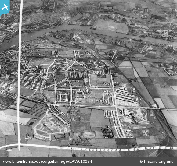
EAW010294 ENGLAND (1947). Development around West Chirton and Billy Mill, West Chirton, from the north, 1947. This image was marked by Aerofilms Ltd for photo editing.
© Hawlfraint cyfranwyr OpenStreetMap a thrwyddedwyd gan yr OpenStreetMap Foundation. 2026. Trwyddedir y gartograffeg fel CC BY-SA.
Delweddau cyfagos (8)
EAW010294

EAW010286

EAW010293

EAW010284

EAW010280

EAW010285

EAW010287

EAW010288

Manylion
| Pennawd | [EAW010294] Development around West Chirton and Billy Mill, West Chirton, from the north, 1947. This image was marked by Aerofilms Ltd for photo editing. |
| Cyfeirnod | EAW010294 |
| Dyddiad | 24-August-1947 |
| Dolen | |
| Enw lle | WEST CHIRTON |
| Plwyf | |
| Ardal | |
| Gwlad | ENGLAND |
| Dwyreiniad / Gogleddiad | 433686, 568889 |
| Hydred / Lledred | -1.4731690370062, 55.013341524153 |
| Cyfeirnod Grid Cenedlaethol | NZ337689 |
Pinnau

Nigel |
Wednesday 29th of April 2020 06:27:14 PM |