
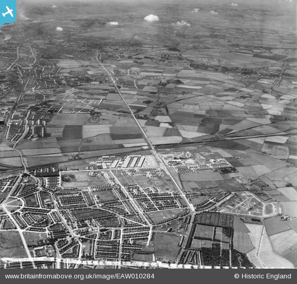
EAW010284 ENGLAND (1947). Development around West Chirton and Billy Mill, West Chirton, from the east, 1947
© Hawlfraint cyfranwyr OpenStreetMap a thrwyddedwyd gan yr OpenStreetMap Foundation. 2026. Trwyddedir y gartograffeg fel CC BY-SA.
Delweddau cyfagos (7)
EAW010284

EAW010293

EAW010285

EAW010294

EAW010286

EAW010280

EAW010287

Manylion
| Pennawd | [EAW010284] Development around West Chirton and Billy Mill, West Chirton, from the east, 1947 |
| Cyfeirnod | EAW010284 |
| Dyddiad | 24-August-1947 |
| Dolen | |
| Enw lle | WEST CHIRTON |
| Plwyf | |
| Ardal | |
| Gwlad | ENGLAND |
| Dwyreiniad / Gogleddiad | 433758, 568907 |
| Hydred / Lledred | -1.472040923674, 55.013498407107 |
| Cyfeirnod Grid Cenedlaethol | NZ338689 |
Pinnau
Byddwch y cyntaf i ychwanegu sylw at y ddelwedd hon!