
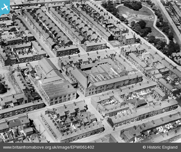
EPW061402 ENGLAND (1939). Hopwood Street Mills and surrounding streets, Preston, 1939
© Copyright OpenStreetMap contributors and licensed by the OpenStreetMap Foundation. 2026. Cartography is licensed as CC BY-SA.
Nearby Images (18)
EPW061402

EPW061405

EPW061404

EAW034010

EAW034012

EAW034011

EAW034014

EAW034009

EAW034007

EAW034008

EAW015903

EAW015906

EAW034013

EAW015923

EPW061403

EPW061400

EPW061401

EPW061406

Details
| Title | [EPW061402] Hopwood Street Mills and surrounding streets, Preston, 1939 |
| Reference | EPW061402 |
| Date | 2-June-1939 |
| Link | |
| Place name | PRESTON |
| Parish | |
| District | |
| Country | ENGLAND |
| Easting / Northing | 354462, 429844 |
| Longitude / Latitude | -2.6908607350507, 53.76273701125 |
| National Grid Reference | SD545298 |
Pins
Be the first to add a comment to this image!