
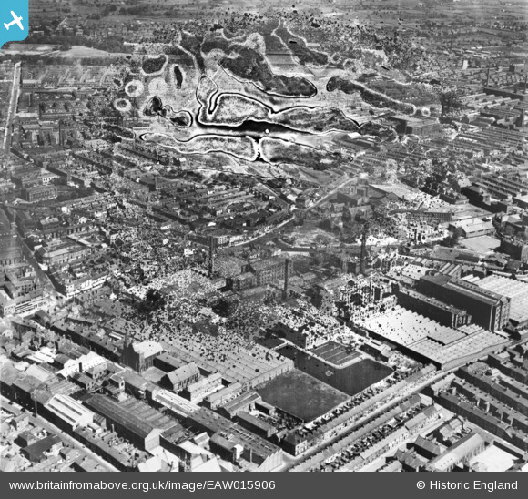
EAW015906 ENGLAND (1948). The Yard Works and environs, Preston, 1948. This image has been produced from a damaged negative.
© Copyright OpenStreetMap contributors and licensed by the OpenStreetMap Foundation. 2026. Cartography is licensed as CC BY-SA.
Nearby Images (18)
EAW015906

EAW015903

EAW023381
 and environs, Preston, 1949")
EAW015923

EAW015908

EAW015909

EAW015907

EAW015927

EAW015904

EAW015902

EPW061402

EPW061405

EPW061404

EPW061400

EPW061403

EPW061406

EAW015901

EAW015928

Details
| Title | [EAW015906] The Yard Works and environs, Preston, 1948. This image has been produced from a damaged negative. |
| Reference | EAW015906 |
| Date | 20-May-1948 |
| Link | |
| Place name | PRESTON |
| Parish | |
| District | |
| Country | ENGLAND |
| Easting / Northing | 354563, 429649 |
| Longitude / Latitude | -2.6892998725774, 53.760993089836 |
| National Grid Reference | SD546296 |
Pins
Be the first to add a comment to this image!