
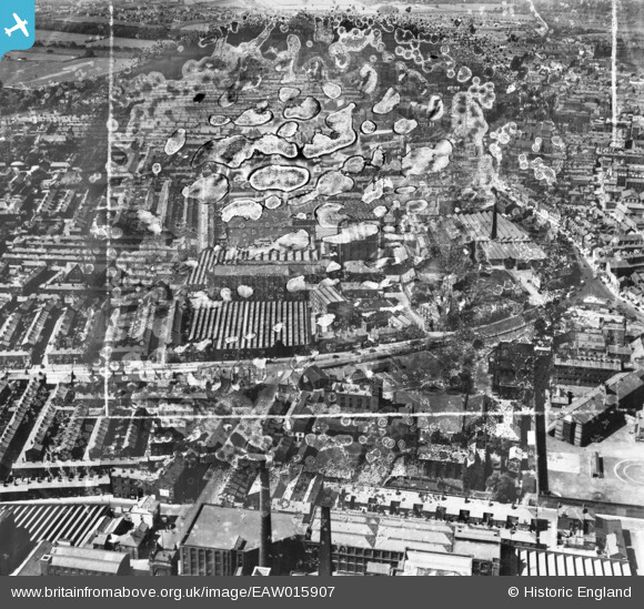
EAW015907 ENGLAND (1948). The Yard Works and environs, Preston, 1948. This image has been produced from a damaged negative.
© Copyright OpenStreetMap contributors and licensed by the OpenStreetMap Foundation. 2026. Cartography is licensed as CC BY-SA.
Nearby Images (15)
EAW015907

EAW015904

EAW015908

EAW015909

EAW015905
 and the town, Preston, from the south-east, 1948. This image has been produced from a damaged negative.")
EAW015906

EAW023381
 and environs, Preston, 1949")
EAW015903

EAW015902

EPW004015

EAW015927

EAW015923

EAW015901

EAW015929

EAW015895

Details
| Title | [EAW015907] The Yard Works and environs, Preston, 1948. This image has been produced from a damaged negative. |
| Reference | EAW015907 |
| Date | 20-May-1948 |
| Link | |
| Place name | PRESTON |
| Parish | |
| District | |
| Country | ENGLAND |
| Easting / Northing | 354678, 429522 |
| Longitude / Latitude | -2.6875367625614, 53.759861578095 |
| National Grid Reference | SD547295 |
Pins
User Comment Contributions
View looking south west. |

Class31 |
Tuesday 4th of February 2014 09:16:33 AM |