
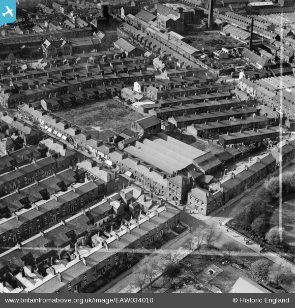
EAW034010 ENGLAND (1950). St Paul's Road Mill, Preston, 1950. This image was marked by Aerofilms Ltd for photo editing.
© Copyright OpenStreetMap contributors and licensed by the OpenStreetMap Foundation. 2026. Cartography is licensed as CC BY-SA.
Nearby Images (11)
EAW034010

EAW034012

EAW034014

EAW034009

EAW034011

EAW034007

EAW034008

EAW034013

EPW061404

EPW061405

EPW061402

Details
| Title | [EAW034010] St Paul's Road Mill, Preston, 1950. This image was marked by Aerofilms Ltd for photo editing. |
| Reference | EAW034010 |
| Date | 14-October-1950 |
| Link | |
| Place name | PRESTON |
| Parish | |
| District | |
| Country | ENGLAND |
| Easting / Northing | 354367, 430013 |
| Longitude / Latitude | -2.6923268599114, 53.764247738546 |
| National Grid Reference | SD544300 |
Pins
Be the first to add a comment to this image!