
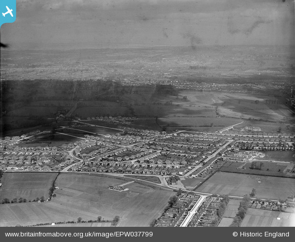
EPW037799 ENGLAND (1932). Housing estate centred upon The Fairway, North Wembley, from the south-east, 1932
© Copyright OpenStreetMap contributors and licensed by the OpenStreetMap Foundation. 2025. Cartography is licensed as CC BY-SA.
Nearby Images (19)
EPW037799

EPW031850

EPW031805

EPW031848

EPW031846

EPW031845

EPW031849

EPW031804

EPW031808

EPW031809

EPW031847

EPW037793

EPW037796

EPW031807

EPW037797

EPW037794

EPW037798

EPW044067

EPW037795

Details
| Title | [EPW037799] Housing estate centred upon The Fairway, North Wembley, from the south-east, 1932 |
| Reference | EPW037799 |
| Date | May-1932 |
| Link | |
| Place name | NORTH WEMBLEY |
| Parish | |
| District | |
| Country | ENGLAND |
| Easting / Northing | 516983, 186450 |
| Longitude / Latitude | -0.31208208233135, 51.564301147541 |
| National Grid Reference | TQ170865 |
Pins
Be the first to add a comment to this image!