
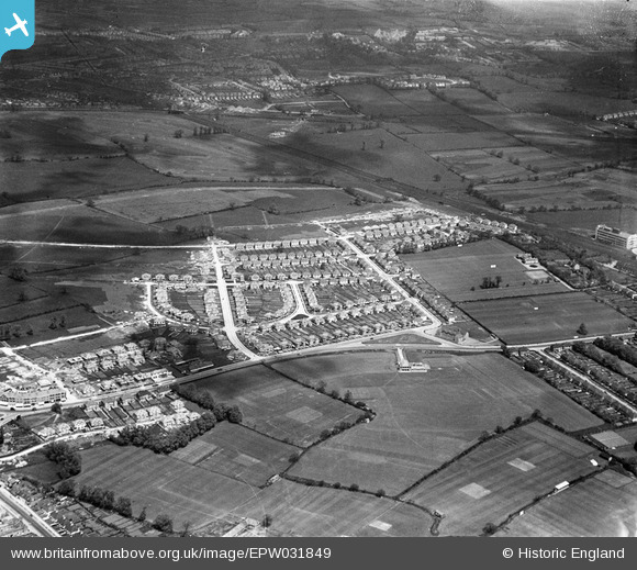
EPW031849 ENGLAND (1930). The Fairway housing estate and environs, North Wembley, 1930
© Copyright OpenStreetMap contributors and licensed by the OpenStreetMap Foundation. 2025. Cartography is licensed as CC BY-SA.
Nearby Images (19)
EPW031849

EPW037794

EPW031845

EPW037793

EPW031850

EPW037795

EPW037799

EPW037796

EPW037777

EPW044067

EPW031846

EPW031805

EPW031847

EPW037797

EPW031848

EPW031804

EPW031809

EPW031808

EPW031807

Details
| Title | [EPW031849] The Fairway housing estate and environs, North Wembley, 1930 |
| Reference | EPW031849 |
| Date | 7-May-1930 |
| Link | |
| Place name | NORTH WEMBLEY |
| Parish | |
| District | |
| Country | ENGLAND |
| Easting / Northing | 517052, 186563 |
| Longitude / Latitude | -0.31104932350479, 51.565302527457 |
| National Grid Reference | TQ171866 |
Pins

The Laird |
Wednesday 4th of January 2017 11:46:56 PM |