
EPW031553 ENGLAND (1930). Edgware London Electric Railway Station, Station Road and surroundings, Edgware, from the south, 1930

© Copyright OpenStreetMap contributors and licensed by the OpenStreetMap Foundation. 2026. Cartography is licensed as CC BY-SA.
Nearby Images (33)
EPW031553

EPW034618

EPW009373

EPW009376

EPW009343

EPW016513

EAW048861

EPW009342

EPW016514

EPW009341

EPW015770

EPW016516

EPW009603

EPW031551

EPW034620

EPW031554

EPW009374

EPW031555

EPW031552

EAW020695

EPW015985

EPW034554

EPW034612

EPW034553

EPW034613

EPW034614

EPW031556

EPW016515

EPW034610

EPW034615

EPW034621

EAW033373

EAW020694

Details
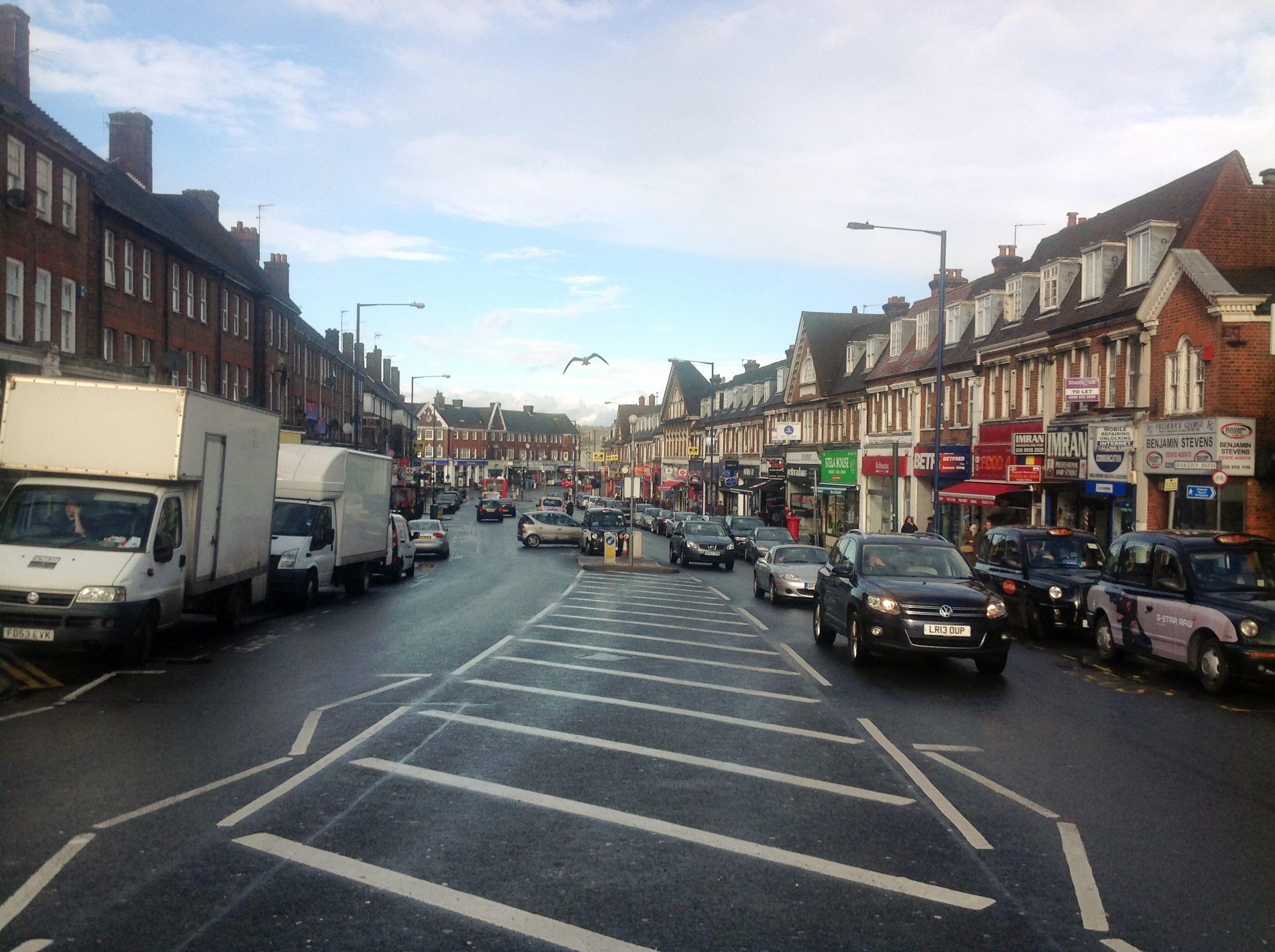
| Title | [EPW031553] Edgware London Electric Railway Station, Station Road and surroundings, Edgware, from the south, 1930 |
| Reference | EPW031553 |
| Date | February-1930 |
| Link | |
| Place name | EDGWARE |
| Parish | |
| District | |
| Country | ENGLAND |
| Easting / Northing | 519486, 191956 |
| Longitude / Latitude | -0.27410957584627, 51.61326581486 |
| National Grid Reference | TQ195920 |
Pins

Mark Amies |
Friday 1st of December 2023 10:45:34 AM | |
|
kevin_s |
Thursday 28th of May 2020 05:31:41 PM | |

Class31 |
Tuesday 30th of July 2013 09:03:42 AM | |
|
Class31 |
Tuesday 30th of July 2013 09:03:17 AM | |
|
Class31 |
Tuesday 30th of July 2013 09:03:01 AM | |
|
Class31 |
Tuesday 30th of July 2013 09:02:45 AM | |
|
Class31 |
Tuesday 30th of July 2013 09:02:27 AM |
User Comment Contributions
Station Road 18/02/2014 |
Class31 |
Wednesday 30th of April 2014 09:40:34 AM |