
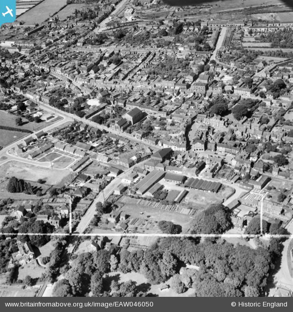
EAW046050 ENGLAND (1952). The Elswick Hopper Cycle Works off Castledykes South and the town centre, Barton-Upon-Humber, 1952. This image was marked by Aerofilms Ltd for photo editing.
© Copyright OpenStreetMap contributors and licensed by the OpenStreetMap Foundation. 2026. Cartography is licensed as CC BY-SA.
Nearby Images (22)
EAW046050

EAW046049

EPW046229

EPW046232

EAW046052

EAW046055

EPW046225

EAW046054

EPW046226

EPW046227

EAW046053

EPW046222

EAW046159

EPW012679

EAW046160

EPW046234

EPW046230

EPW046228

EAW031244

EAW046051

EPW046231

EPW012678

Details
| Title | [EAW046050] The Elswick Hopper Cycle Works off Castledykes South and the town centre, Barton-Upon-Humber, 1952. This image was marked by Aerofilms Ltd for photo editing. |
| Reference | EAW046050 |
| Date | 22-August-1952 |
| Link | |
| Place name | BARTON-UPON-HUMBER |
| Parish | BARTON-UPON-HUMBER |
| District | |
| Country | ENGLAND |
| Easting / Northing | 503103, 421855 |
| Longitude / Latitude | -0.43873557922702, 53.682737910144 |
| National Grid Reference | TA031219 |
Pins
Be the first to add a comment to this image!