
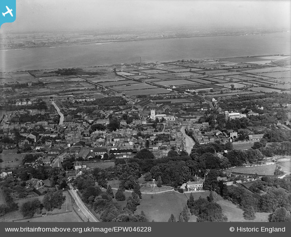
EPW046228 ENGLAND (1934). The town and the River Humber, Barton-upon-Humber, from the south, 1934
© Copyright OpenStreetMap contributors and licensed by the OpenStreetMap Foundation. 2026. Cartography is licensed as CC BY-SA.
Nearby Images (18)
EPW046228

EPW046234

EPW046230

EAW046051

EPW046222

EPW046227

EPW046226

EPW046225

EAW046055

EAW046159

EAW046049

EPW046229

EAW046053

EAW046054

EAW046050

EPW046232

EAW046052

EAW046162

Details
| Title | [EPW046228] The town and the River Humber, Barton-upon-Humber, from the south, 1934 |
| Reference | EPW046228 |
| Date | September-1934 |
| Link | |
| Place name | BARTON-UPON-HUMBER |
| Parish | BARTON-UPON-HUMBER |
| District | |
| Country | ENGLAND |
| Easting / Northing | 503198, 421693 |
| Longitude / Latitude | -0.43735150444974, 53.681263447631 |
| National Grid Reference | TA032217 |
Pins

Val |
Monday 12th of December 2016 08:38:01 PM | |
|
aerialandy |
Sunday 29th of June 2014 04:48:23 PM | |
|
aerialandy |
Sunday 29th of June 2014 04:46:49 PM | |
|
aerialandy |
Sunday 29th of June 2014 04:45:28 PM |