
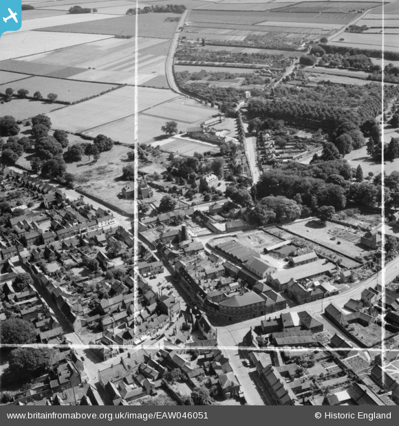
EAW046051 ENGLAND (1952). The Elswick Hopper Cycle Works off Castledykes South, Barton-Upon-Humber, 1952. This image was marked by Aerofilms Ltd for photo editing.
© Copyright OpenStreetMap contributors and licensed by the OpenStreetMap Foundation. 2026. Cartography is licensed as CC BY-SA.
Nearby Images (19)
EAW046051

EPW046230

EPW046228

EPW046234

EAW046159

EPW046227

EPW046226

EAW046055

EPW046222

EPW046225

EAW046053

EAW046054

EAW046049

EPW046229

EAW046052

EAW046162

EPW012680

EAW046050

EPW046232

Details
| Title | [EAW046051] The Elswick Hopper Cycle Works off Castledykes South, Barton-Upon-Humber, 1952. This image was marked by Aerofilms Ltd for photo editing. |
| Reference | EAW046051 |
| Date | 22-August-1952 |
| Link | |
| Place name | BARTON-UPON-HUMBER |
| Parish | BARTON-UPON-HUMBER |
| District | |
| Country | ENGLAND |
| Easting / Northing | 503277, 421705 |
| Longitude / Latitude | -0.43615176227593, 53.681355668123 |
| National Grid Reference | TA033217 |
Pins

aerialandy |
Saturday 29th of June 2019 10:37:51 PM | |
|
aerialandy |
Monday 30th of June 2014 10:34:36 AM | |
|
aerialandy |
Monday 30th of June 2014 10:30:44 AM | |
|
aerialandy |
Monday 30th of June 2014 10:28:03 AM | |
|
aerialandy |
Sunday 29th of June 2014 05:15:22 PM | |
|
aerialandy |
Sunday 29th of June 2014 04:35:22 PM | |
|
aerialandy |
Sunday 29th of June 2014 04:33:59 PM | |
Locally known as Vinegar Hill at times |
Bartonian |
Saturday 6th of December 2014 07:31:41 PM |
|
aerialandy |
Sunday 29th of June 2014 04:32:34 PM |
User Comment Contributions
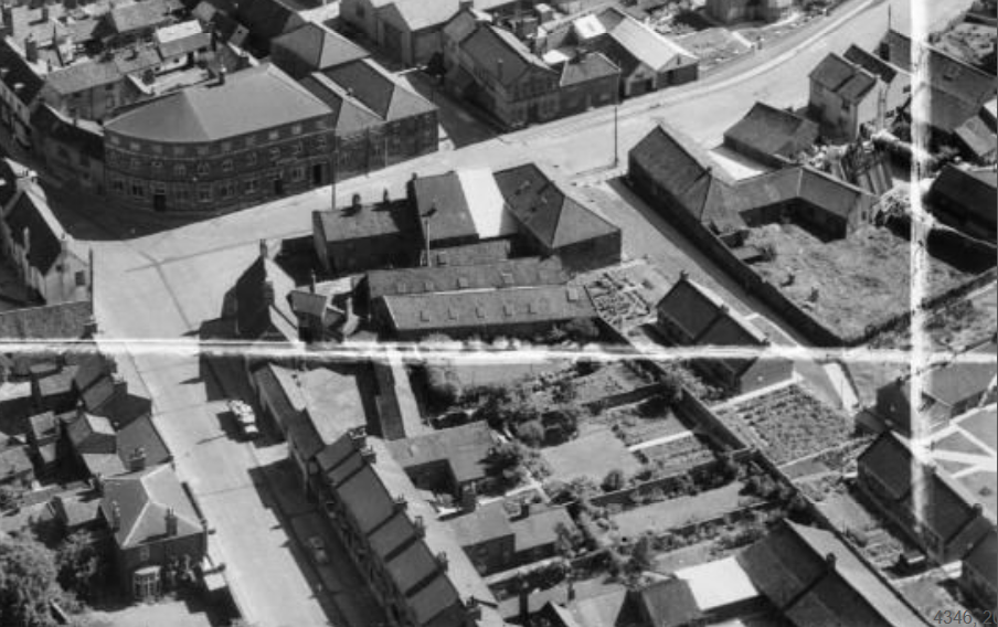
This image must have taken much later than 1952 as the bungalows on Bertetun Green are clearly visible at the bottom right hand corner. |
RobertB |
Tuesday 25th of October 2016 02:32:15 PM |