
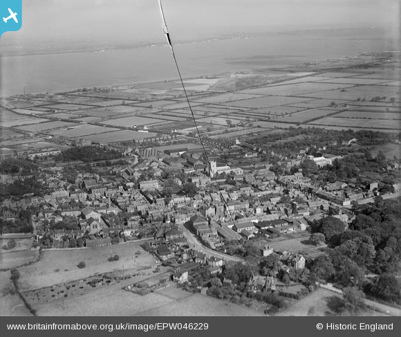
EPW046229 ENGLAND (1934). The town and the River Humber, Barton-upon-Humber, from the south-west, 1934. This image has been produced from a damaged negative.
© Copyright OpenStreetMap contributors and licensed by the OpenStreetMap Foundation. 2026. Cartography is licensed as CC BY-SA.
Nearby Images (21)
EPW046229

EAW046049

EAW046050

EPW046232

EPW046225

EAW046055

EPW046226

EPW046222

EPW046227

EAW046052

EAW046054

EAW046053

EAW046159

EPW046234

EPW046230

EPW046228

EPW012679

EAW046160

EAW046051

EPW046231

EPW012678

Details
| Title | [EPW046229] The town and the River Humber, Barton-upon-Humber, from the south-west, 1934. This image has been produced from a damaged negative. |
| Reference | EPW046229 |
| Date | September-1934 |
| Link | |
| Place name | BARTON-UPON-HUMBER |
| Parish | BARTON-UPON-HUMBER |
| District | |
| Country | ENGLAND |
| Easting / Northing | 503107, 421813 |
| Longitude / Latitude | -0.43868899500943, 53.682359715203 |
| National Grid Reference | TA031218 |
Pins
Be the first to add a comment to this image!