
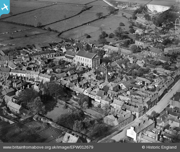
EPW012679 ENGLAND (1925). Trinity Methodist Church and environs, Barton-upon-Humber, 1925
© Copyright OpenStreetMap contributors and licensed by the OpenStreetMap Foundation. 2026. Cartography is licensed as CC BY-SA.
Nearby Images (22)
EPW012679

EAW046160

EAW031244

EAW046052

EAW046050

EPW046232

EAW046049

EPW046229

EAW046054

EAW046053

EAW046055

EPW046225

EPW046226

EAW046159

EPW046227

EPW046222

EPW046231

EPW046221

EPW046230

EAW046161

EAW046041
, Barton-Upon-Humber, 1952. This image was marked by Aerofilms Ltd for photo editing.")
EAW046048
, Barton-Upon-Humber, from the north-west, 1952. This image was marked by Aerofilms Ltd for photo editing.")
Details
| Title | [EPW012679] Trinity Methodist Church and environs, Barton-upon-Humber, 1925 |
| Reference | EPW012679 |
| Date | 6-May-1925 |
| Link | |
| Place name | BARTON-UPON-HUMBER |
| Parish | BARTON-UPON-HUMBER |
| District | |
| Country | ENGLAND |
| Easting / Northing | 503086, 421979 |
| Longitude / Latitude | -0.43895168620664, 53.683855509679 |
| National Grid Reference | TA031220 |
Pins


User Comment Contributions
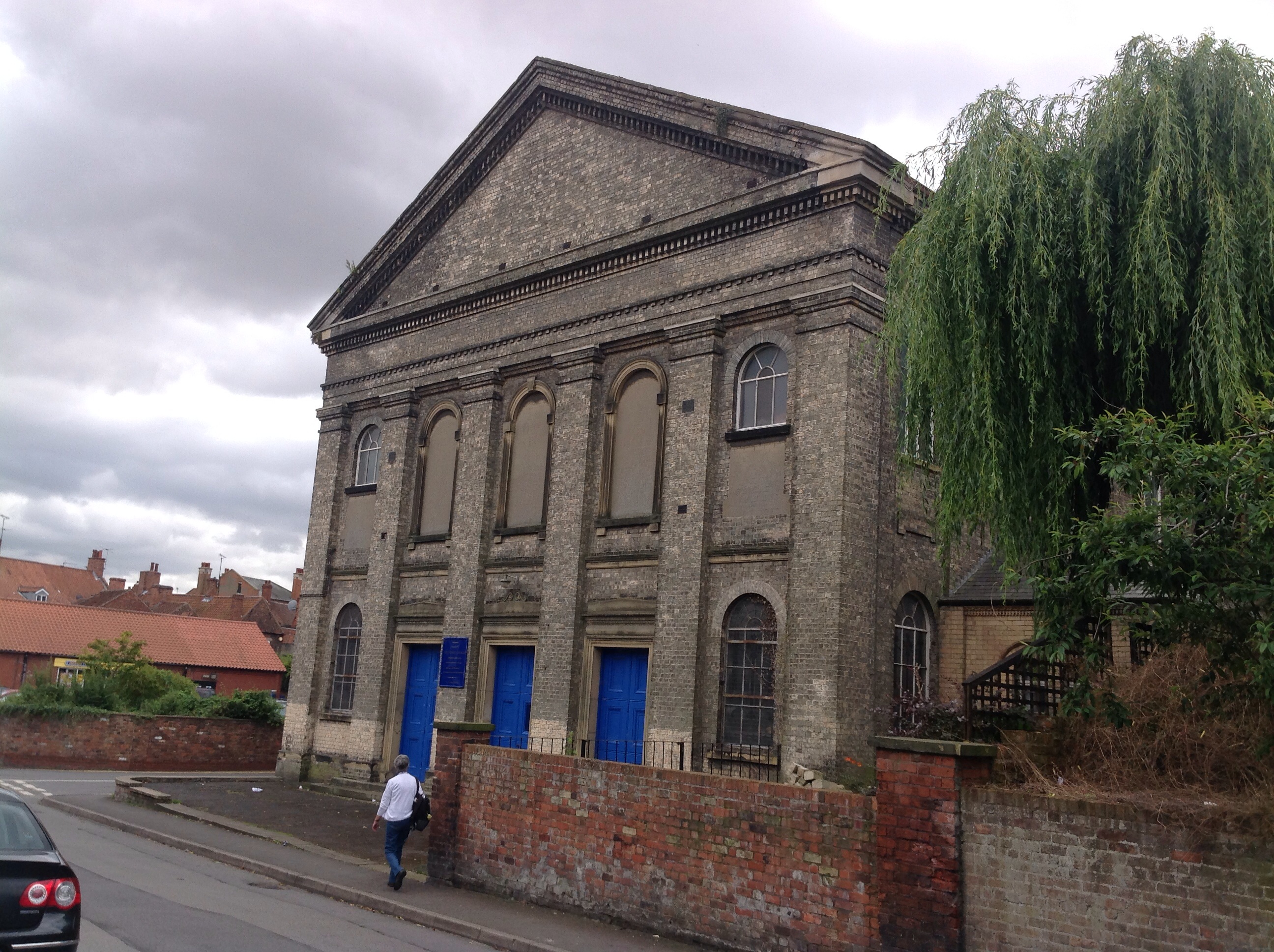
Trinity Methodist Church, 29/08/2014 |

Class31 |
Friday 29th of August 2014 08:48:06 PM |