
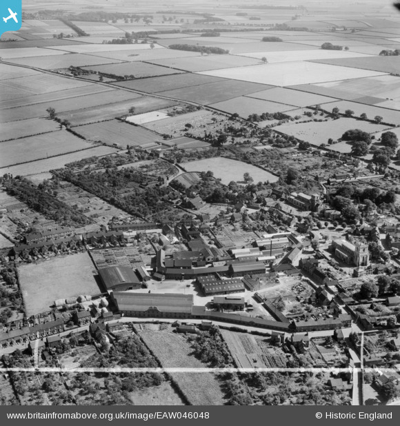
EAW046048 ENGLAND (1952). St Mary's Church alongside St Mary's Cycle Works (Elswick Hopper), Barton-Upon-Humber, from the north-west, 1952. This image was marked by Aerofilms Ltd for photo editing.
© Copyright OpenStreetMap contributors and licensed by the OpenStreetMap Foundation. 2026. Cartography is licensed as CC BY-SA.
Nearby Images (18)
EAW046048
, Barton-Upon-Humber, from the north-west, 1952. This image was marked by Aerofilms Ltd for photo editing.")
EAW046041
, Barton-Upon-Humber, 1952. This image was marked by Aerofilms Ltd for photo editing.")
EAW046042
, Barton-Upon-Humber, 1952. This image was marked by Aerofilms Ltd for photo editing.")
EAW046161

EPW046221

EPW012677

EPW046224

EPW046223

EAW046046
, Barton-Upon-Humber, 1952. This image was marked by Aerofilms Ltd for photo editing.")
EAW046043
, Barton-Upon-Humber, 1952. This image was marked by Aerofilms Ltd for photo editing.")
EAW046045
, Barton-Upon-Humber, 1952. This image was marked by Aerofilms Ltd for photo editing.")
EAW046047
, Barton-Upon-Humber, 1952. This image was marked by Aerofilms Ltd for photo editing.")
EPW046233

EPW046231

EPW012678

EPW032879

EAW031244

EPW012679

Details
| Title | [EAW046048] St Mary's Church alongside St Mary's Cycle Works (Elswick Hopper), Barton-Upon-Humber, from the north-west, 1952. This image was marked by Aerofilms Ltd for photo editing. |
| Reference | EAW046048 |
| Date | 22-August-1952 |
| Link | |
| Place name | BARTON-UPON-HUMBER |
| Parish | BARTON-UPON-HUMBER |
| District | |
| Country | ENGLAND |
| Easting / Northing | 503332, 422213 |
| Longitude / Latitude | -0.4351500245206, 53.685909595346 |
| National Grid Reference | TA033222 |
Pins
Be the first to add a comment to this image!